

 English
 Russian
 Dutch
Dutch German
 Spanish
 French
 Türkçe
Detailed hi-res maps of Yaroslavl for download or print

City tours, excursions and tickets in Yaroslavl and surroundings
Car rental on OrangeSmile.com

Search for services, infrastructure and sights on map of Yaroslavl
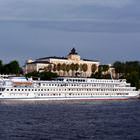
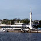
Photogallery of Yaroslavl sightseeing


Our guide chapters over Yaroslavl
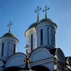
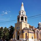
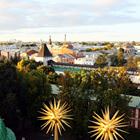
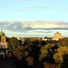
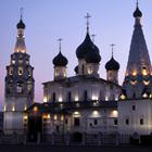
Yaroslavl sightseeing
For hundreds of years, wonderful churches temples, parks and luxurious palaces have been built. The sightseeing program offered to the city guests is very eventful. If taking into account this feature, it is pleasant to mention the city care for its guests. Every year, more signs that make the walking more comfortable and pleasant appear in the city streets. The history of Yaroslavl goes back to over a thousand … Open 
Travel guide to Yaroslavl
One of the most fascinating monuments of the 19th century is the Governer’s House. Since its construction, it has been the main residence of the local mayor. Russian emperors used it as an imperial palace. In 1917, the luxurious historic building came to the city government. After the war, it served as different state institutions. In 1970, it was decided to open the Art Museum in the building. By the way, … Open