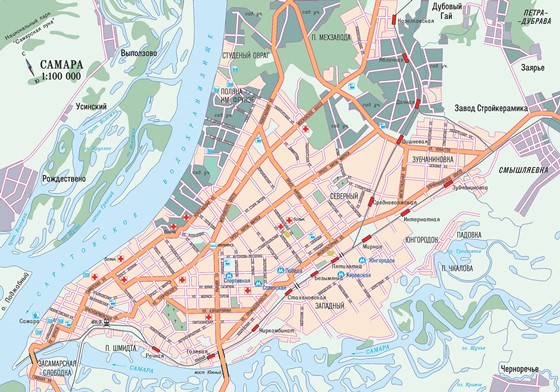
Detailed hi-res maps of Samara for download or print
The actual dimensions of the Samara map are 2360 X 1652 pixels, file size (in bytes) - 924434. You can open this downloadable and printable map of Samara by clicking on the map itself or via this link: Open the map.
City tours, excursions and tickets in Samara and surroundings
Expo 2020 in Dubai Was Visited by More Than 7 Million Visitors
If you haven’t visited this event yet, there is still time to book a hotel in Dubai because Expo 2020 Dubai runs until 31 March 2022. People who are unable to visit the emirate can make a virtual tour on the Expo 2020 website. By the way, the virtual visitation has already reached 31.6 million by the end of December. Read this
25.04.2024
If you haven’t visited this event yet, there is still time to book a hotel in Dubai because Expo 2020 Dubai runs until 31 March 2022. People who are unable to visit the emirate can make a virtual tour on the Expo 2020 website. By the way, the virtual visitation has already reached 31.6 million by the end of December.
25.04.2024
Search for services, infrastructure and sights on map of Samara
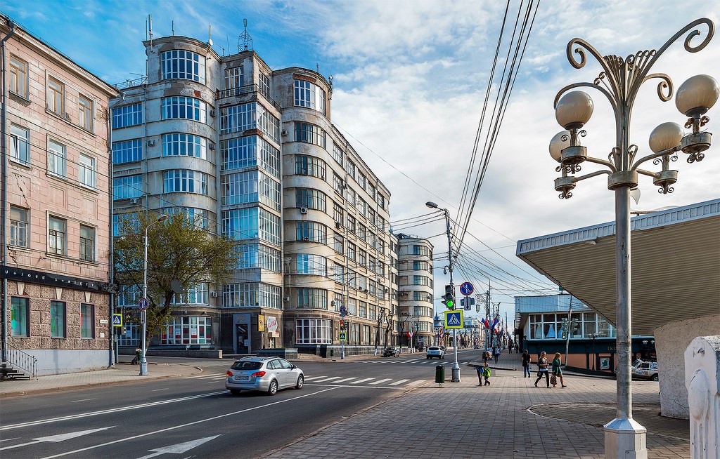
Photogallery of Samara sightseeing
Our guide chapters over Samara
Travel guide to Samara
The excellent place for hiking is the Leningradskaya Street, which is one of the most beautiful historic streets in Samara. Its length is over 1.5 km. the street was formed in the 19th century. Now, you can see here beautiful mansions built in the 19th-20th centuries. Most of the buildings have preserved their original names. The street is pedestrian. In a warm period, it is decorated with lush flower beds. … Open 
Samara sightseeing
The city was formed as a watch fortress in the late 16th century. Thanks to the efforts of the locals, a lot of unique historical sites of different epochs have been preserved in Samara. The favorite place for locals and guests’ recreation is the embankment. There is no better place for walking and family recreation. Not all people know that this embankment is the longest in the territory of the country. Its … Open 


 English
 Russian
 Dutch
Dutch German
 Spanish
 French
 Türkçe


