

 English
 Russian
 Dutch
Dutch German
 Spanish
 French
 Türkçe
Detailed hi-res maps of Mineralnie Vody for download or print

City tours, excursions and tickets in Mineralnie Vody and surroundings
Car rental on OrangeSmile.com

Search for services, infrastructure and sights on map of Mineralnie Vody
Photogallery of Mineralnie Vody sightseeing


Our guide chapters over Mineralnie Vody
Travel guide to Mineralnie Vody
The unusual historical symbol of the city is the Tersk Stud. It was founded in 1889 upon the order of the count Sergey Stroganov. Now, the historical stud is one of the largest in Russia and open for tourists on particular days. The visitors of the stud will have an opportunity to see in what conditions elite horses are bred and trained. A lot of interesting entertainments are held for visitors. They can master … Open 
Mineralnie Vody sightseeing
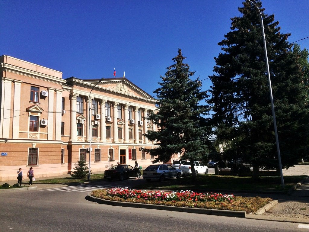
Nowadays, this city is one of the largest in the Stavropol Region. Like many years ago, it is an important transport, railway and air hub of the North Caucasus. Mineralnye Vody is the member of the Association of the Southern city of the Russian Federation. It has partner and friendly relations with most of the cities of Russia and neighboring countries. Mineralnye Vody is quite a promising town from a tourist point … Open