

Printable maps of Rostov na Donu


Interactive maps of hiking and biking routes around Rostov na Donu
1. You can zoom in/out using your mouse wheel, as well as move the map of Rostov na Donu with your mouse.2. This interactive map presents two modes: 'Biking Routes' and 'Hiking Routes'. Use the '+' button on the map to switch between them.
Railway and landscape maps of Rostov na Donu area
This Rostov na Donu map has two modes: 'Railway Network' and 'Landscape & Rural Map'. Use the '+' button on the map to navigate.City tours, excursions and tickets in Rostov na Donu and surroundings
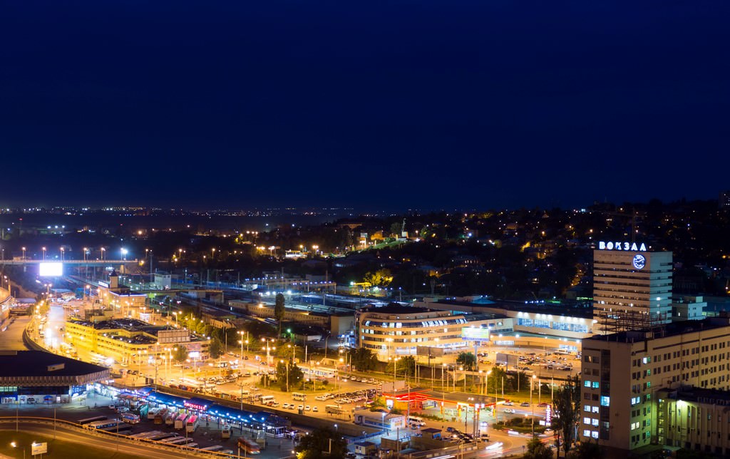
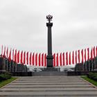
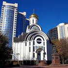
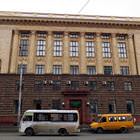
Photogallery of Rostov na Donu sights


Our guide to Rostov na Donu
Rostov na Donu sightseeing
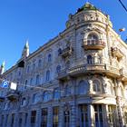
The fortress and the Armenian settlement Nahichevan located near it turned into the city in 1811 upon the order of Emperor Alexander I. Originally, the city was formed as a trade one, so the majority of the local population earned a living mainly on trading. Due to the trade, the economy was rapidly developing and cobbled streets and stone houses were built in the city. The Bolshaya Sadovaya Street became the center … Open 
Travel guide to Rostov na Donu
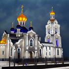
Another interesting religious monument is Surb-Hach Church built by Armenian settlers in the 18th century. Before, the church had been a part of the big monastery that has not been preserved to this day. After over 200 years, the tiny church in classic style has remained almost unchangeable. It houses several important religious relics. The most valuable now is the stone cross transferred here from the historic … Open