

Printable maps of Murmansk

Interactive maps of hiking and biking routes around Murmansk
1. You can zoom in/out using your mouse wheel, as well as move the map of Murmansk with your mouse.2. This interactive map presents two modes: 'Biking Routes' and 'Hiking Routes'. Use the '+' button on the map to switch between them.
Railway and landscape maps of Murmansk area
This Murmansk map has two modes: 'Railway Network' and 'Landscape & Rural Map'. Use the '+' button on the map to navigate.City tours, excursions and tickets in Murmansk and surroundings
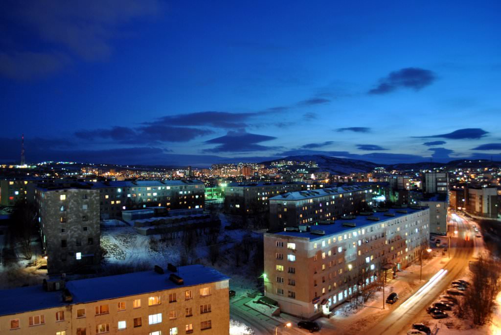
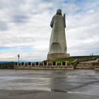
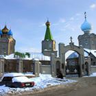
Photogallery of Murmansk sights
Our guide to Murmansk
Murmansk sightseeing
Murmansk is quite a young city. It was formed in 1916. In the past, only the Pomors, the descendants of Russian settlers, lived on the White Sea coast. They started developing these lands in the 13th century. After the establishment of the Soviet Union, the city started to develop fast. It was quite difficult to build it up, as the deserted shore of the Arctic Ocean with granite that was crushed by ice and cracked … Open 
Travel guide to Murmansk
Today, one of the oldest stone buildings in Murmansk is occupied by the Regional Art Museum. This culture center is unique in its own way because it is an only art museum in the world that is located above the Arctic Circle. The museum was founded in the 80s of the last century and the building it occupies now was built in 1927. In the period of the Great Patriotic War, the building was partially destroyed. Its … Open