

Interactive maps of hiking and biking routes around Kurgan
1. You can zoom in/out using your mouse wheel, as well as move the map of Kurgan with your mouse.2. This interactive map presents two modes: 'Biking Routes' and 'Hiking Routes'. Use the '+' button on the map to switch between them.
Railway and landscape maps of Kurgan area
This Kurgan map has two modes: 'Railway Network' and 'Landscape & Rural Map'. Use the '+' button on the map to navigate.City tours, excursions and tickets in Kurgan and surroundings
Photogallery of Kurgan sights
Our guide to Kurgan
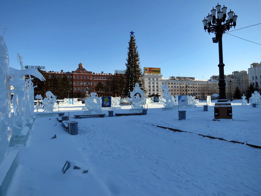
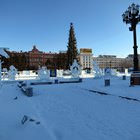
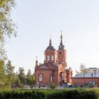
Kurgan sightseeing
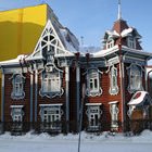
Of course, more people lived exactly in the New City. At the end of the 18th century, the master city construction plan was developed by Governor General Kashkin. According to this plan, it was necessary to build up Kurgan by dividing the territory into city quarters and streets orienting them by the Tobol River current. Most citizens lived in wooden houses but rich residents preferred to build big stone houses. … Open 
Travel guide to Kurgan
In Kurgan, there is the House of V. K. Küchelbecker where the famous poet and Decembrist lived. Due to the thorough reconstruction, the beautiful wooden house built at the beginning of the 19th century has preserved its excellent state. Today, you can see the writings of the famous poet, pieces of antique furniture, former owner’s personal items, and collections of his literary works here. Küchelbecker … Open