

 English
 Russian
 Dutch
Dutch German
 Spanish
 French
 Türkçe
Detailed hi-res maps of Ponta Delgada for download or print

City tours, excursions and tickets in Ponta Delgada and surroundings
Moving around in Portugal - transportation
 Trams and lifts are equally popular in Lisbon. There is a metro in the capital. At the moment, there are only four subways that connect the city center with the most significant areas. The country’s air transportation is also developed at a high level. There are several major international airports which operate in the country, but the internal displacement is poorly developed. The most popular flights are the ones which connects the mainland of Portugal with the island part of the country.
… Open
Trams and lifts are equally popular in Lisbon. There is a metro in the capital. At the moment, there are only four subways that connect the city center with the most significant areas. The country’s air transportation is also developed at a high level. There are several major international airports which operate in the country, but the internal displacement is poorly developed. The most popular flights are the ones which connects the mainland of Portugal with the island part of the country.
… Open Economy roadmap of Portugal
Tourism is an important activity in Portugal. Every year, more and more travelers come to the country. Consequently, high-class hotels and hostels are being built, and the service sector is developing. The transport system in the country is poorly developed. Today, there are only 35,000 kilometers of railways in the country, of which about 1,000 are electrified. The length of highways with a hard surface is about 60,000 kilometers. Sea transport is mostly used for transportation to the mainland from the island. However, the tonnage of the marine fleet does not exceed 1.2 million tons. … Open
Car rental on OrangeSmile.com

Search for services, infrastructure and sights on map of Ponta Delgada
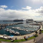
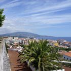
Photogallery of Ponta Delgada sightseeing
Our guide chapters over Ponta Delgada
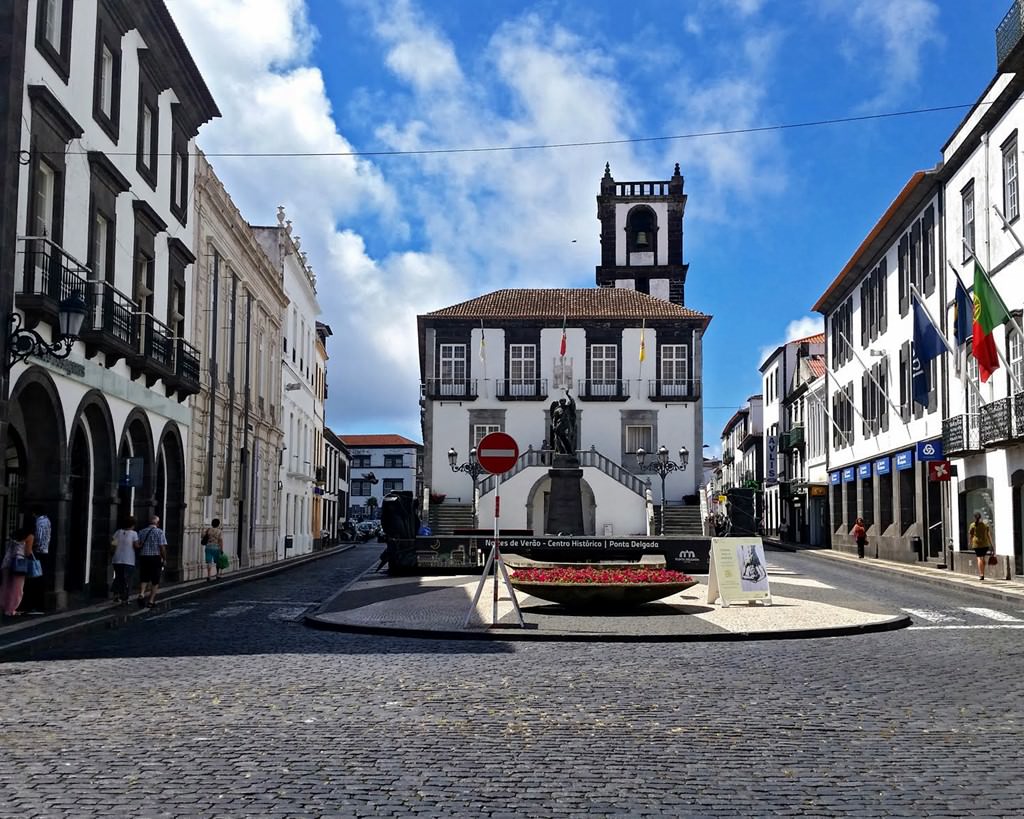
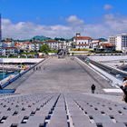
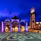
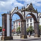
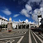
Ponta Delgada sightseeing
Besides beach recreation, Ponta Delgada can offer its guests to visit several amazing natural attractions such as the Gruta do Carvao Caves. This is the longest naturally formed volcanic tunnel on the island. The length of the Gruta do Carvao Caves is one thousand ninety hundred and twelve meters. A transitional section, the length of which is seven hundred meters, is located between the caves. Scientists performed … Open 