

 English
 Russian
 Dutch
Dutch German
 Spanish
 French
 Türkçe
Detailed hi-res maps of Canterbury for download or print


City tours, excursions and tickets in Canterbury and surroundings
Moving around in Great Britain - transportation
 Air transport is also decent in the UK. The country has a lot of domestic and international airports, so moving between the most remote points of the state will be quick and comfortable. In addition, the cost of air tickets is quite acceptable. It is possible to move around the city by bicycles. Authorities zealously support this trend, so they constantly expand the network of bicycle lanes. You can rent a two-wheeled vehicle in any town. This is especially true in larger cities, where the ancient streets are very narrow, and the traffic jams can be as long as several kilometers. You can also rent a car, but only with an international driver's license. Such an option will cost you at least $60 per day.
… Open
Air transport is also decent in the UK. The country has a lot of domestic and international airports, so moving between the most remote points of the state will be quick and comfortable. In addition, the cost of air tickets is quite acceptable. It is possible to move around the city by bicycles. Authorities zealously support this trend, so they constantly expand the network of bicycle lanes. You can rent a two-wheeled vehicle in any town. This is especially true in larger cities, where the ancient streets are very narrow, and the traffic jams can be as long as several kilometers. You can also rent a car, but only with an international driver's license. Such an option will cost you at least $60 per day.
… Open
Car rental on OrangeSmile.com

Search for services, infrastructure and sights on map of Canterbury
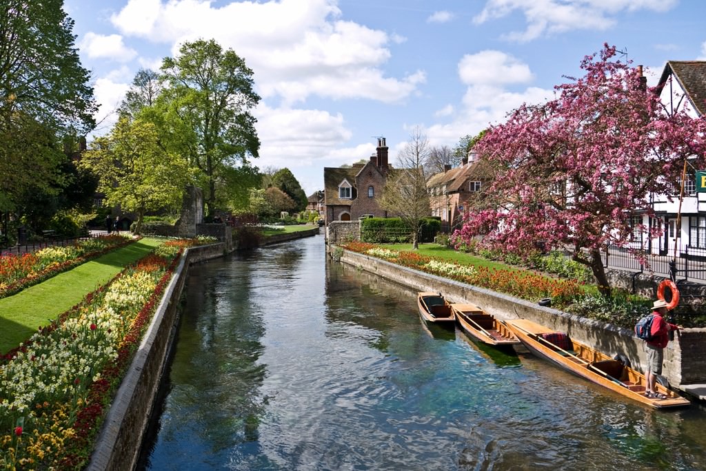
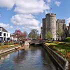
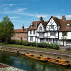
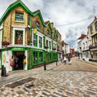
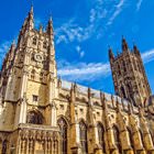
Photogallery of Canterbury sightseeing
Our guide chapters over Canterbury
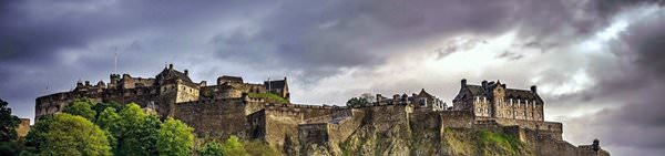
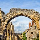
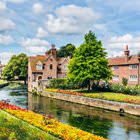
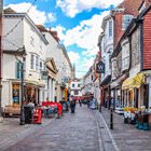
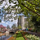
Canterbury sightseeing
This was an important period for the whole region because Romans developed the town’s infrastructure. They built baths, a temple, theater, and a forum that is an open space building in the central part of Canterbury. Rich and noble people settled in stone houses while the poor built wooden buildings. In order to protect the city from attacks of barbaric tribes, it was decided to build a thick wall around the … Open 