

Printable maps of Mazatlan


Interactive maps of hiking and biking routes around Mazatlan
1. You can zoom in/out using your mouse wheel, as well as move the map of Mazatlan with your mouse.2. This interactive map presents two modes: 'Biking Routes' and 'Hiking Routes'. Use the '+' button on the map to switch between them.
Railway and landscape maps of Mazatlan area
This Mazatlan map has two modes: 'Railway Network' and 'Landscape & Rural Map'. Use the '+' button on the map to navigate.City tours, excursions and tickets in Mazatlan and surroundings
Overview of festivals and celebrations in Mexico
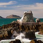
Christmas is celebrated on the night of December 25th. Huge richly decorated Christmas trees are put up on the main squares of Mexican cities. Mexicans dress their home trees, gather with their families at a festive table, and then go out to celebrate on the streets where fireworks are launched. Everywhere you can see red spurge flowers. December 28 is the Day of the Holy Innocents very similar to April Fools' Day. On this day, you cannot believe a word other people say, and naive "victims" of jokes are usually called "innocent doves". … OpenPhotogallery of Mazatlan sights
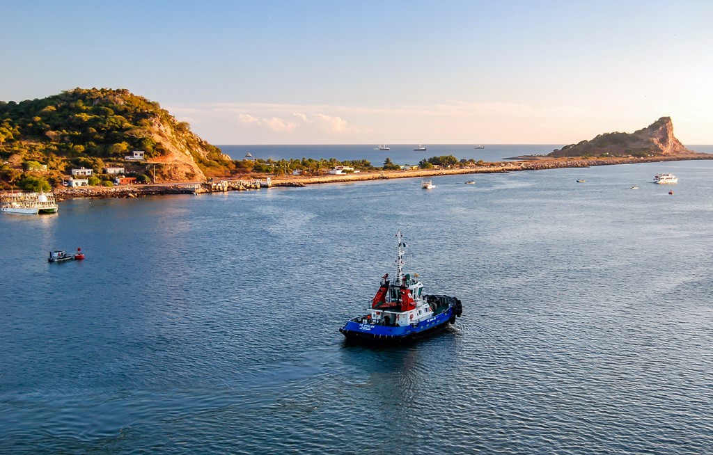


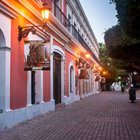
Our guide to Mazatlan
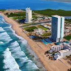
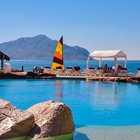
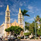
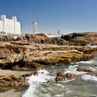
Mazatlan sightseeing
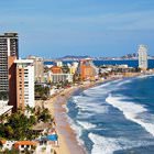
As a rule, tourists from Europe fly to the country’s capital, Mexico City, first. After that, take a domestic flight to Mazatlan, and you will reach the “treasure of the Pacific” in one hour and forty minutes. Having arrived at the airport in Mazatlan, it is possible to reach the city center by bus. The journey time is roughly twenty minutes. This coastal area is always … Open 