

 English
 Russian
 Dutch
Dutch German
 Spanish
 French
 Türkçe
Detailed hi-res maps of Trencin for download or print

City tours, excursions and tickets in Trencin and surroundings
Car rental on OrangeSmile.com

Search for services, infrastructure and sights on map of Trencin
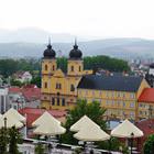
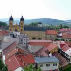
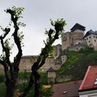
Photogallery of Trencin sightseeing
Our guide chapters over Trencin
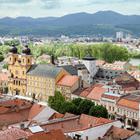
Travel guide to Trencin
Walking down Matushovaya Street, you can see the Hangman’s House. Many incredible legends are associated with this historic building. It is the only medieval house that managed to survive on the territory of the city. During the 16th and 17th centuries, a municipal executioner resided in this house. There was a dungeon in the basement where prisoners had been waiting for an execution. Nowadays, a thematic … Open 
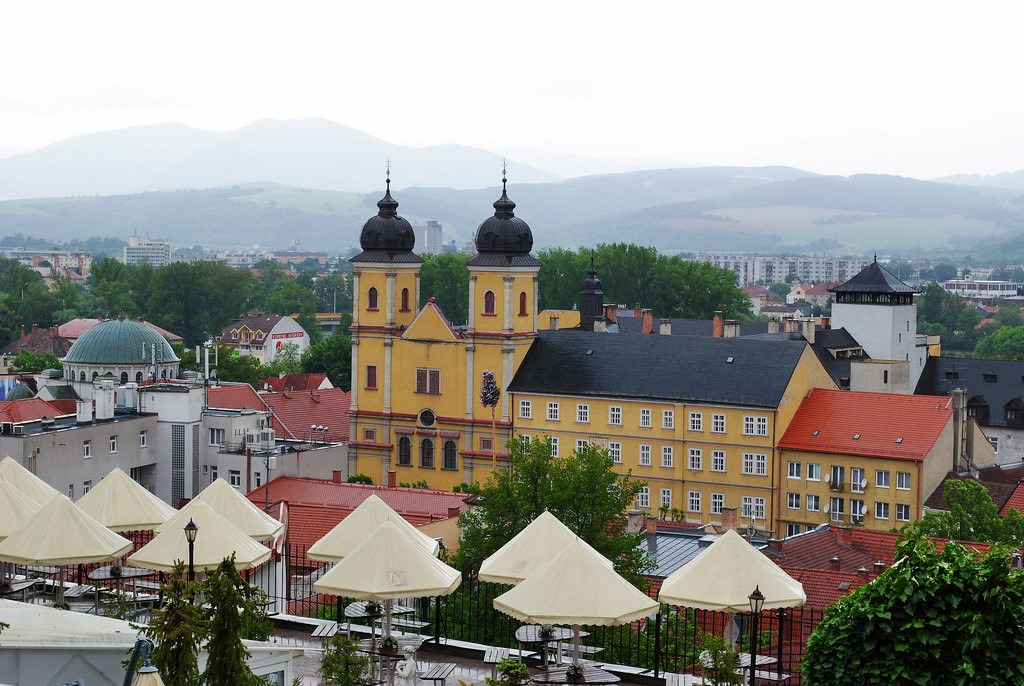
Trencin sightseeing
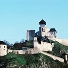
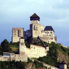
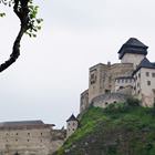
First mentions of this city date back to the 2nd century, when the Romans have created a fortified settlement Levkaristos on the place of the modern Trencin. In the beginning of the 11th century a fortress was built on the territory of the settlement. The owner of this place was a feudal lord Slovak Matos Chuck Trencin. The city got its name thanks to this fortress, which has been used as the main military base in … Open