

Printable maps of Kolkata


Interactive maps of hiking and biking routes around Kolkata
1. You can zoom in/out using your mouse wheel, as well as move the map of Kolkata with your mouse.2. This interactive map presents two modes: 'Biking Routes' and 'Hiking Routes'. Use the '+' button on the map to switch between them.
Railway and landscape maps of Kolkata area
This Kolkata map has two modes: 'Railway Network' and 'Landscape & Rural Map'. Use the '+' button on the map to navigate.City tours, excursions and tickets in Kolkata and surroundings
Nature and parks of India
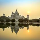
Another park called “Manas” has borders with the Kaziranga National Park. Here flows the Kaziranga’s River. It received its name in honor of the goddess of snakes. “Manas” is located right on the border of India and neighboring Bhutan. The inhabitants of the park can freely cross the state border, which is the river separating the park. “Manas” is located in the foothills of the Himalayas, which makes this place charming and unique. The snow-white peaks look very beautiful in contrast with the lush greenery of the national park. The park is inhabited by tigers, rhinos, and a number of rare birds. If you are lucky enough, you will be able to see rare swamp deer. You can move around Manas either by jeeps or elephants, and this will give a special touch to your visit to Manas. … OpenPhotogallery of Kolkata sights


Our guide to Kolkata
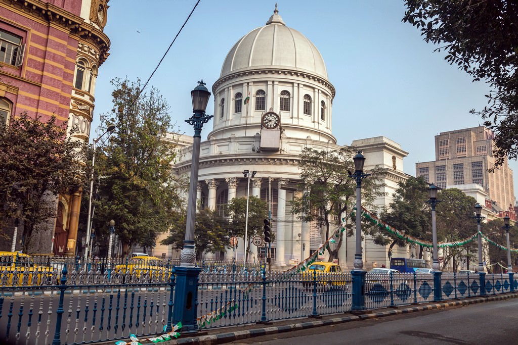
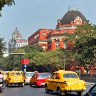
Kolkata sightseeing
Settlements existed on the site of modern Kolkata and its surroundings already more than 2,000 years ago. However, Kolkata as a city started actively developing at the end of the seventeenth century when the British East India Company started working in the region. Reportedly, Job Charnock was the founder of the city, but the Calcutta High Court stated in 2003 that the city didn’t have a founder. During the … Open 