

Interactive maps of hiking and biking routes around Malmedy
1. You can zoom in/out using your mouse wheel, as well as move the map of Malmedy with your mouse.2. This interactive map presents two modes: 'Biking Routes' and 'Hiking Routes'. Use the '+' button on the map to switch between them.
Railway and landscape maps of Malmedy area
This Malmedy map has two modes: 'Railway Network' and 'Landscape & Rural Map'. Use the '+' button on the map to navigate.City tours, excursions and tickets in Malmedy and surroundings
Nature and parks of Belgium
The first national park Hoge Kempen, which was opened in 2006 in Flanders, is a special pride of the Belgians. Its territory covers the land of 6 municipalities and is about 5000 hectares. The entire reserve is composed of pine forests that grow interspersed with green meadows. The place where sand and gravel were mined previously has now become an impressive lake, remarkable in size. All the beauty of the park can be seen by rising to the natural heights of Hoge Kempen, which is a little less than 100 meters. The reserve has become a habitat for such rare animals as a slippery snake, European bee wolf or antlions. You will also come across a roe here. You can have a view of the most beautiful places in the national park by going for a walk along one of the hiking routes. Their length is varied and ranges from 3 to 14 kilometers. In specialized stalls, there is an opportunity to buy a map, on which walking or cycling routes have been marked. … OpenPhotogallery of Malmedy sights
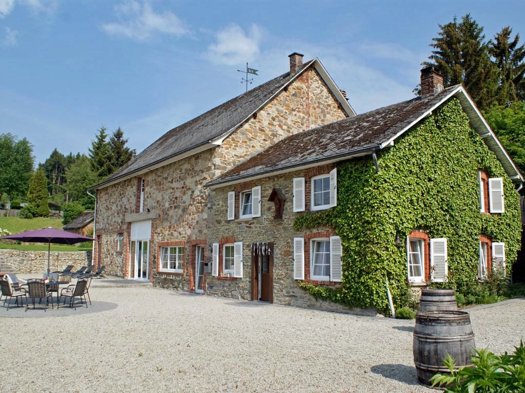
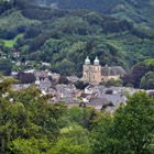
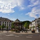
Our guide to Malmedy
Malmedy sightseeing
Only after the defeat of Prussia in World War I, Malmedy officially became a territory of Belgium. An interesting fact – the city got its current official territorial status relatively not long ago, in 1977. This is the year when two villages – Beverse and Bellevaux-Ligneuville – officially joined the city. This peculiarity certainly had an impact on the atmosphere of Malmedy, giving it a decent countryside … Open 