

Interactive maps of hiking and biking routes around Durbuy
1. You can zoom in/out using your mouse wheel, as well as move the map of Durbuy with your mouse.2. This interactive map presents two modes: 'Biking Routes' and 'Hiking Routes'. Use the '+' button on the map to switch between them.
Railway and landscape maps of Durbuy area
This Durbuy map has two modes: 'Railway Network' and 'Landscape & Rural Map'. Use the '+' button on the map to navigate.City tours, excursions and tickets in Durbuy and surroundings
Nature and parks of Belgium
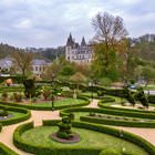
Belgium is located in the western part of the European continent. It has shared borders with France, the Netherlands and Luxembourg. The north-western border of the country is washed by the North Sea. The territory of the state is mainly represented by plains that become higher in the direction from the north-west to the south-east. The territory of Belgium can be divided into 3 natural landscape areas. In the northwestern part of the country, there is a sandy plain. In the center of Belgium lies a plateau, which is a hilly area. In the southeast of the country, the Ardennes Mountains begin, smoothly moving into the territory of neighboring France. In the Ardennes is to be found the highest point in Belgium – Mount Botranzh, which is 694 meters in height. More than half the area of Belgium is set aside for farming. About 20% of the Belgian territory is occupied by forests. An extensive network of rivers is connected by numerous channels. They are convenient for shipping, as they are not covered by ice during the winter due to the moderately warm maritime climate. … OpenPhotogallery of Durbuy sights
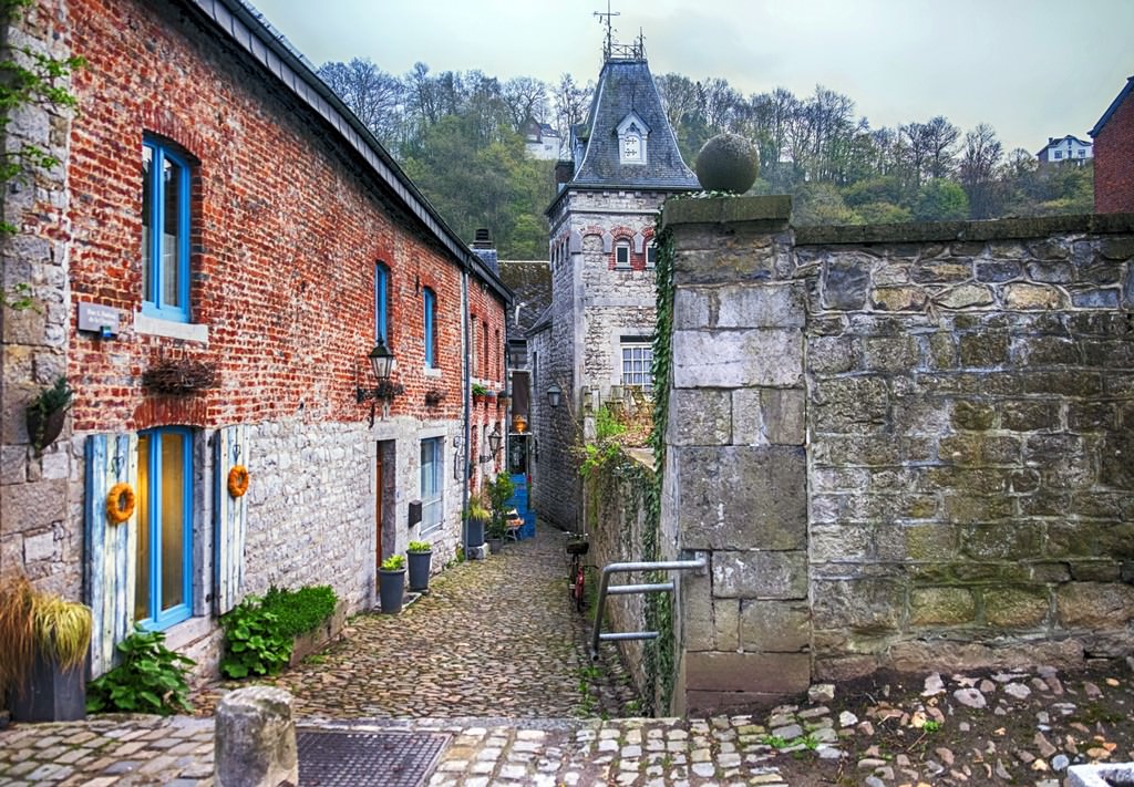
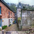
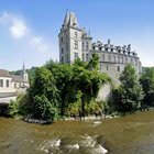
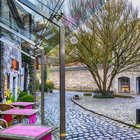
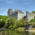
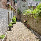
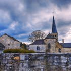
Our guide to Durbuy
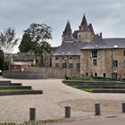
Durbuy sightseeing
There are no direct transport routes from the Belgian capital to Durbuy, so prepare to make a change. First, you need to take a train to Liege – these trains depart every thirty minutes. One hour later, you need to make a change and take a train to the Barvaux station. This part of the journey will last roughly fifty minutes. The distance to fairytale Durbuy from the station mentioned previously is approximately … Open 