

Printable maps of Lhasa

Interactive maps of hiking and biking routes around Lhasa
1. You can zoom in/out using your mouse wheel, as well as move the map of Lhasa with your mouse.2. This interactive map presents two modes: 'Biking Routes' and 'Hiking Routes'. Use the '+' button on the map to switch between them.
Railway and landscape maps of Lhasa area
This Lhasa map has two modes: 'Railway Network' and 'Landscape & Rural Map'. Use the '+' button on the map to navigate.City tours, excursions and tickets in Lhasa and surroundings
Nature and parks of China
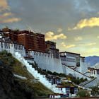
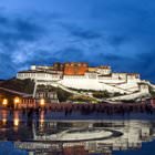
More than three hundred nature reserves have been created across the country. The most famous of them is Wolong located in Sichuan Province. Giant pandas, snow leopards, surilis (golden monkeys) and other rare animals live here under the protection and care of professionals. Zhalong is a nature reserve protecting rare species of birds: cranes, herons, storks. In autumn, it's worth to visit the Changbai Mountains - a virgin forest where various coniferous and deciduous trees grow. Lushan Mountains are ninety-nine peaks of completely different shapes and outlines, overlooking waterfalls, rivers, and lakes. … OpenPhotogallery of Lhasa sights
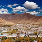
Our guide to Lhasa
Lhasa sightseeing
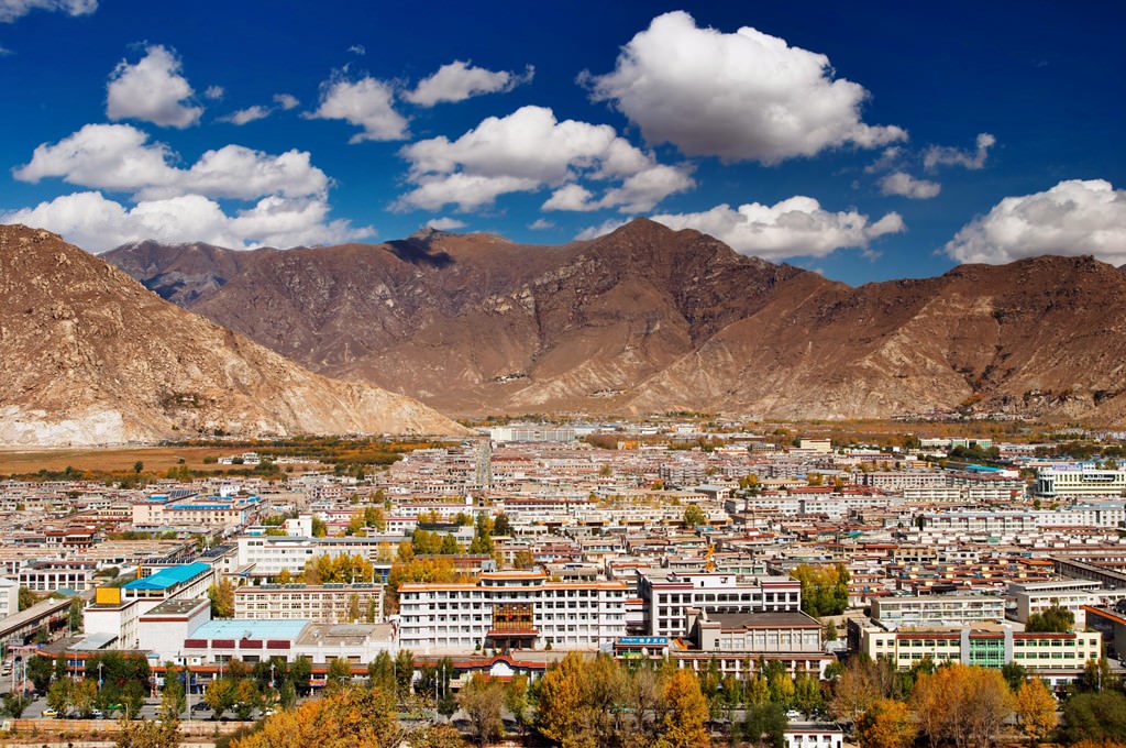
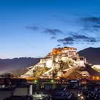
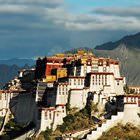
According to local legends, Songtsen Gampo, the Tibetan emperor, was the founder of Lhasa. The king, who ruled in the first half of the 7th century, chose Lhasa the capital of his empire. However, historic records prove that the center of the Tibetan Empire was changed several times to different Chinese cities. When Lhasa became the capital of Tibet, it started growing in size and developing quickly. This is when … Open 