

Printable maps of Ptuj

Interactive maps of hiking and biking routes around Ptuj
1. You can zoom in/out using your mouse wheel, as well as move the map of Ptuj with your mouse.2. This interactive map presents two modes: 'Biking Routes' and 'Hiking Routes'. Use the '+' button on the map to switch between them.
Railway and landscape maps of Ptuj area
This Ptuj map has two modes: 'Railway Network' and 'Landscape & Rural Map'. Use the '+' button on the map to navigate.City tours, excursions and tickets in Ptuj and surroundings
Nature and parks of Slovenia
The only Slovenian national park Triglav is named after the eponymous mountain peak, which became a symbol of the country. The park lying in the northwestern part of the country covers an area of more than 800 square kilometers or 4% of the entire territory of Slovenia. In 1924, the Triglav Lakes Valley was recognized as a protected area. The Triglav Park was formed around it in 1961, and 20 years later it has been completely reorganized. The park located at altitudes of up to 1,400 meters above sea level has a number of resorts: Bohinj, Bled, Kranjska Gora. … OpenPhotogallery of Ptuj sights
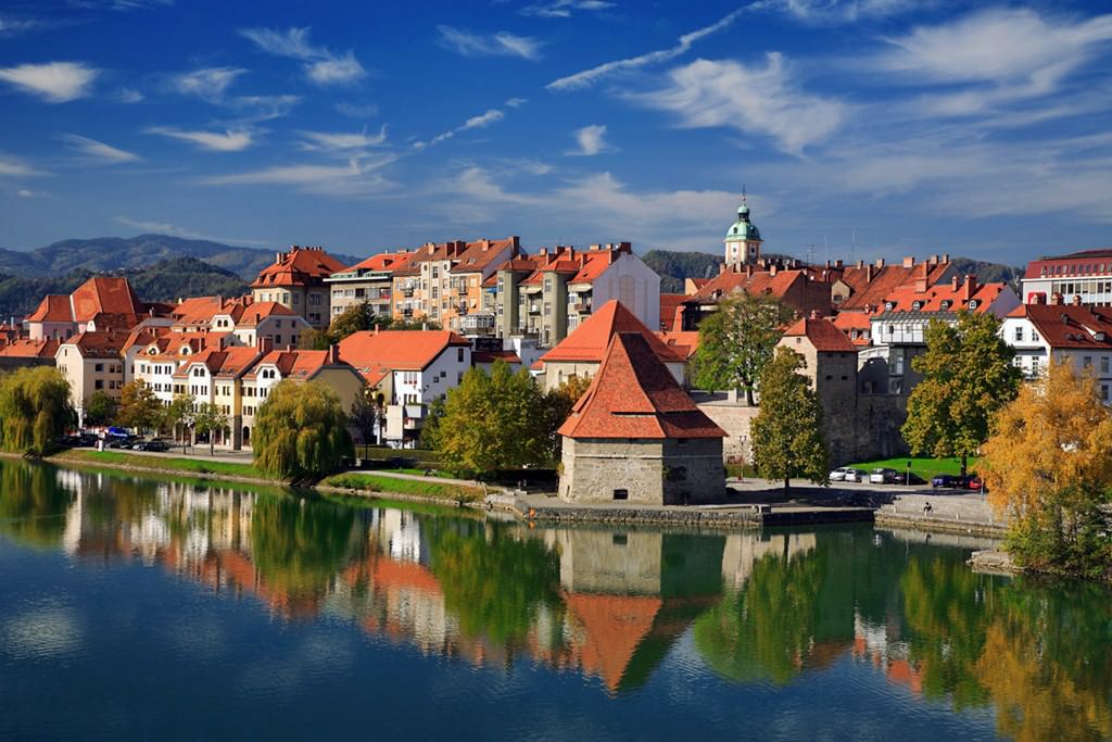
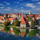
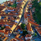
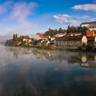
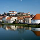
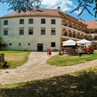
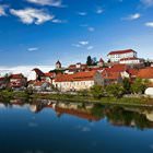
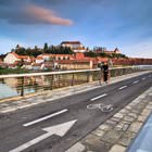
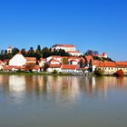
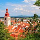
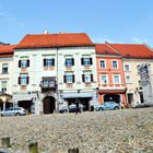
Our guide to Ptuj
Ptuj sightseeing
There is no airport in Ptuj. In order to reach this town, travelers need to fly to one of the nearby cities. The closest sea gate is located twenty-two kilometers from Ptuj, in the city of Maribor. Tourists can get to the old town by train. The journey time is roughly forty minutes. There is also a train route that requires making a change. The journey time is bigger – one and a half hours. Foreign guests can … Open 