

Printable maps of Mahilyow

Interactive maps of hiking and biking routes around Mahilyow
1. You can zoom in/out using your mouse wheel, as well as move the map of Mahilyow with your mouse.2. This interactive map presents two modes: 'Biking Routes' and 'Hiking Routes'. Use the '+' button on the map to switch between them.
Railway and landscape maps of Mahilyow area
This Mahilyow map has two modes: 'Railway Network' and 'Landscape & Rural Map'. Use the '+' button on the map to navigate.City tours, excursions and tickets in Mahilyow and surroundings
Nature and parks of Belarus
Berezinsky Biosphere Reserve occupies the northern part of the country. It was established yet in the 20s of the previous century. This national park is a part of the international network of biosphere reserves protected by UNESCO. Its diverse ecosystem (swamps, fields, forests, and lakes) is great for flora and fauna. … OpenPhotogallery of Mahilyow sights
Our guide to Mahilyow
Mahilyow sightseeing
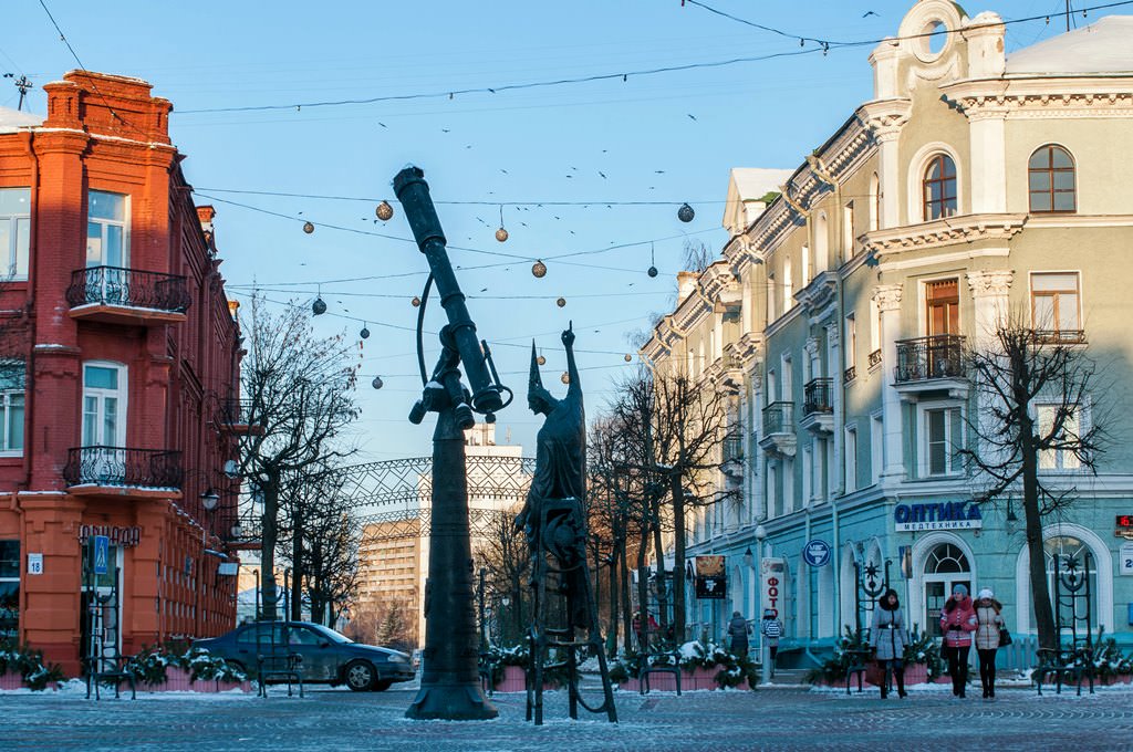
Mogilev is one of the ancient cities of the country that was inhabited already in the prehistoric era. At the beginning of the 12th century, the city was a center of the large feudal settlement and served as a fortress. Historians suppose than Mogilev was conquered and destroyed completely by the Mongol Tatars at the beginning of the 13th century. The first written references to Mogilev date back to the 14th century. … Open 
Travel guide to Mahilyow
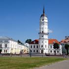
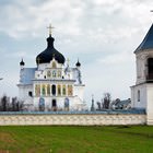
One of the main historical symbols of Mogilev is the City Hall. The building that the city guests can see today is new. The historic construction located at its site was destroyed completely. For the natives, the City Hall has become an important symbol for the years of its existence, so it was decided to restore it. The building was reconstructed almost in its historic original form. Another unique religious … Open