

Printable maps of Kilkenny


Interactive maps of hiking and biking routes around Kilkenny
1. You can zoom in/out using your mouse wheel, as well as move the map of Kilkenny with your mouse.2. This interactive map presents two modes: 'Biking Routes' and 'Hiking Routes'. Use the '+' button on the map to switch between them.
Railway and landscape maps of Kilkenny area
This Kilkenny map has two modes: 'Railway Network' and 'Landscape & Rural Map'. Use the '+' button on the map to navigate.City tours, excursions and tickets in Kilkenny and surroundings
Ireland - moving around the country
 The air transportation in Ireland is also at a high level. There are 10 international airports operating here which also accept charter flights. There are as well about thirty small airfields. Therefore, if there is a need to quickly move around the country, air transportation will be the best solution. In addition, local tour operators offer their clients a pretty good price for domestic air traffic. Due to the fact that Ireland has access to the sea, water transportation is also developed. There are ferries and barges not only along the coastal line. Some flights connect Ireland with England and France, as well as some islands. All year round, excursion liners, ships and boats cruise the whole coastline. You can rent a boat for yourself if you so desire.
… Open
The air transportation in Ireland is also at a high level. There are 10 international airports operating here which also accept charter flights. There are as well about thirty small airfields. Therefore, if there is a need to quickly move around the country, air transportation will be the best solution. In addition, local tour operators offer their clients a pretty good price for domestic air traffic. Due to the fact that Ireland has access to the sea, water transportation is also developed. There are ferries and barges not only along the coastal line. Some flights connect Ireland with England and France, as well as some islands. All year round, excursion liners, ships and boats cruise the whole coastline. You can rent a boat for yourself if you so desire.
… Open Nature and parks of Ireland
The largest national park in Ireland is the land located in the Wicklow Mountains in the homonymous county. The highest peak of the chain - Lugnaquilla - is about 900 meters above sea level. The park is very popular not only among tourists but also among locals. It is located near Dublin. Every weekend, residents of the country's capital go there to enjoy the picturesque landscapes and feel the unity with nature. The park has wide opportunities for fans of active recreation. You can go fishing to local lakes or rivers, kayak on mountain streams or just make a hike up the mountain. There is the monastery of Glendalough in the park, which was built in the 6th century. Near the castle, there are two lakes. The place will be an excellent option for walking. Another attraction of the park is the Powerscourt waterfall, which is the highest in Ireland. … OpenPhotogallery of Kilkenny sights

Our guide to Kilkenny
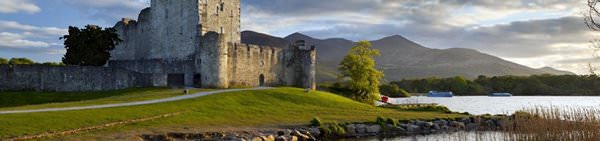
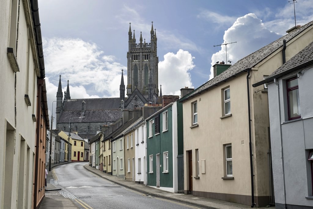
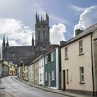
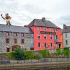
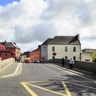
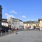
Kilkenny sightseeing
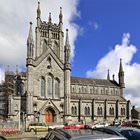
According to a local legend, the name of the city derived from Cill Chainnigh that meant “Chainnigh’s Church”. In the 6th century, a monk settled in this territory. He decided to build an abbey here. When the building was ready, people started settling near it. This is how a new settlement named Kilkenny appeared. During the period of Norman invasions, the settlement was divided into two parts – an … Open 