

Printable maps of Eger


Interactive maps of hiking and biking routes around Eger
1. You can zoom in/out using your mouse wheel, as well as move the map of Eger with your mouse.2. This interactive map presents two modes: 'Biking Routes' and 'Hiking Routes'. Use the '+' button on the map to switch between them.
Railway and landscape maps of Eger area
This Eger map has two modes: 'Railway Network' and 'Landscape & Rural Map'. Use the '+' button on the map to navigate.City tours, excursions and tickets in Eger and surroundings
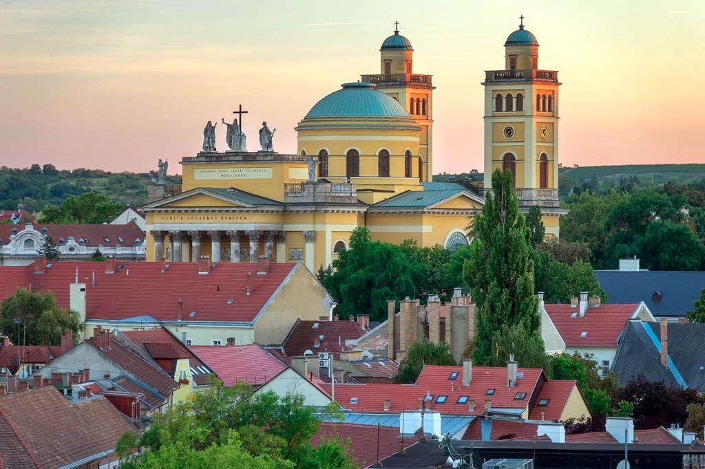
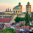
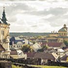
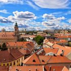
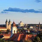
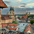
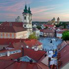
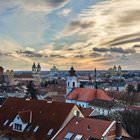
Photogallery of Eger sights
Our guide to Eger
Eger sightseeing
The first settlement on the site of modern Eger emerged more than millennia ago. In the Middle Ages, German tribes inhabited the territory, and then the Avars conquered this land. When Slavs destroyed the settlement, this region started belonging to them. In the 10th century, the region changed its owner once again as Hungarians became rulers here. The first cathedral in Eger appeared at that time. Steadily, new … Open 