- Antwerpen Topics
- Travel guide
- Cuisine & restaurants
- Traditions & lifestyle
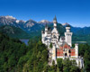
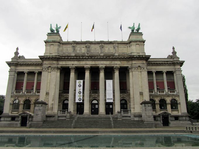
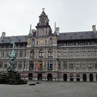
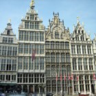
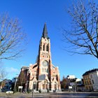
- Cultural sights
- Attractions & nightlife
- Tips for tourists
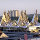
- Photo gallery
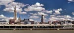
- Panoramic photo
- High-resolution maps
- Interactive map
- Tram map
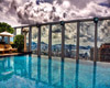
- Accommodation
- » Family rooms
- » Budget hotels
- » Luxury hotels
- » Apartments
- » Hostels
- » Hostels
- » Hotels with Internet
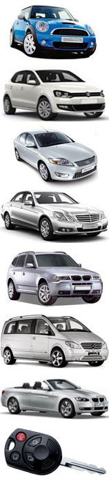
- Car rental
- Economy cars
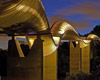
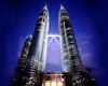
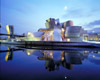
Our fun photogalleries


Absolutely Best Rates for Hotels in Antwerpen
Maps of Antwerpen, Belgium

About this map
You can open, download and print this detailed Antwerpen map by clicking on the map above or via this link: Open the city map.
You can open, download and print this detailed Antwerpen map by clicking on the map above or via this link: Open the city map.
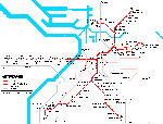
Metro / underground map of Antwerpen

About this map
The subway map of Antwerpen you can open, download and print by clicking on the map above or via this link: Open the map of Antwerpen metro.
The subway map of Antwerpen you can open, download and print by clicking on the map above or via this link: Open the map of Antwerpen metro.
Other detailed maps of Antwerpen

Travel Video Guide about Antwerpen
Live photogallery of Antwerpen, Belgium


Our articles about Antwerpen:
Travel guide to Antwerpen
The House of Rubens. Without a doubt, Peter Paul Rubens is one of the most famous citizens of Antwerp. Travellers will find a lot of places that remind of the great artist...
Read further
The House of Rubens. Without a doubt, Peter Paul Rubens is one of the most famous citizens of Antwerp. Travellers will find a lot of places that remind of the great artist...
Read further
Antwerpen lifestyle and traditions
The majority of tourists tend to get to Antwerp during Christmas holidays, which is always celebrated here with grand scale. If you visit the city during this period, you will find here interesting...
Read further
The majority of tourists tend to get to Antwerp during Christmas holidays, which is always celebrated here with grand scale. If you visit the city during this period, you will find here interesting...
Read further
Best restaurants and cuisine of Antwerpen
If you want to explore the city's bars, move your feet to Tabac. The bartender of this place constantly offers new and original cocktails and snacks to visitors. Vacationers will be also pleased by...
Read further
If you want to explore the city's bars, move your feet to Tabac. The bartender of this place constantly offers new and original cocktails and snacks to visitors. Vacationers will be also pleased by...
Read further
'Must visit' sights in Antwerpen
During an excursion to Maritime Museum visitors can learn much interesting about the development and establishment of the local port area. The location of the museum is also very interesting – you...
Read further
During an excursion to Maritime Museum visitors can learn much interesting about the development and establishment of the local port area. The location of the museum is also very interesting – you...
Read further
Antwerpen attractions and nightlife
Middelheim Park is the best place for relaxation and walks. Another advantage is that this park is located near the city. You will also find a museum under the open sky on the territory of the park....
Read further
Middelheim Park is the best place for relaxation and walks. Another advantage is that this park is located near the city. You will also find a museum under the open sky on the territory of the park....
Read further
Travel tips for Antwerpen
3. Smoking is prohibited in public places, so those tourists, who suffer from this addiction, have to search for specially designated smoking rooms. You also should not ask for an ashtray...
Read further
3. Smoking is prohibited in public places, so those tourists, who suffer from this addiction, have to search for specially designated smoking rooms. You also should not ask for an ashtray...
Read further
Maps of the region