

 English
 Russian
 Dutch
Dutch German
 Spanish
 French
 Türkçe
Detailed hi-res maps of Roatan for download or print

City tours, excursions and tickets in Roatan and surroundings
Car rental on OrangeSmile.com

Search for services, infrastructure and sights on map of Roatan
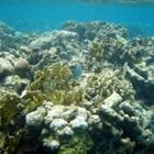
Photogallery of Roatan sightseeing

Our guide chapters over Roatan
Travel guide to Roatan
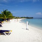
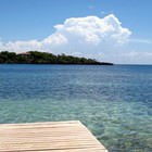
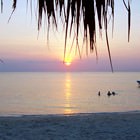
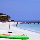
One of the most picturesque bays of the island houses a dolphinarium nowadays. It will be of interest for absolutely everyone. Exciting shows with the participation of dolphins are held daily for holidaymakers. Visitors can swim with the dolphins, as well. A memorable photo shoot will be a pleasant bonus. All the beaches have their own attractive features. Young tourists enjoy the most popular West End beach. It is … Open 
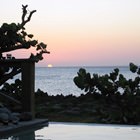
Roatan sightseeing
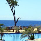
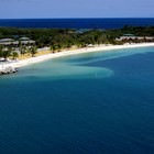
The tourism has started developing not so long ago on the island. Before this the island was a major fishing area, and a large part of the population was engaged in mining and processing of seafood. New hotels have grown along the coastal area like mushrooms, and new hotels keep opening as the number of tourists wishing to relax on spacious beaches only increases year after year. This resort is especially popular … Open