

Printable maps of Nha Trang

Interactive maps of hiking and biking routes around Nha Trang
1. You can zoom in/out using your mouse wheel, as well as move the map of Nha Trang with your mouse.2. This interactive map presents two modes: 'Biking Routes' and 'Hiking Routes'. Use the '+' button on the map to switch between them.
Railway and landscape maps of Nha Trang area
This Nha Trang map has two modes: 'Railway Network' and 'Landscape & Rural Map'. Use the '+' button on the map to navigate.City tours, excursions and tickets in Nha Trang and surroundings
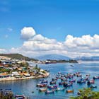
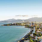
Photogallery of Nha Trang sights


Our guide to Nha Trang
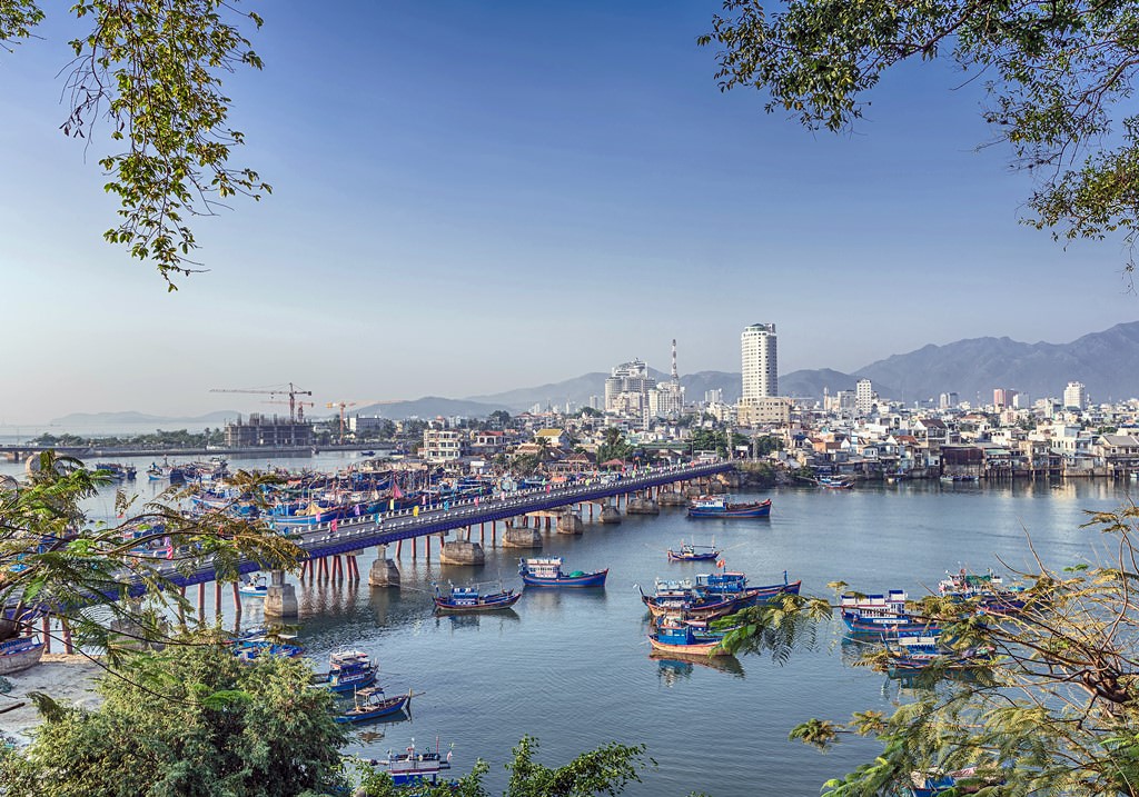
Nha Trang sightseeing
Initially, Nha Trang had another name – Kauthara. The Cham people were the founders of the settlement. For a long time, Nha Trang was a small village, which population was mostly fishing to survive. Nha Trang started developing in the 17th century. The economy kept growing until the 19th century. As a resort, this region became famous during the French colonization period. At that time, the territory of modern … Open 