

Printable maps of Kutaisi

Interactive maps of hiking and biking routes around Kutaisi
1. You can zoom in/out using your mouse wheel, as well as move the map of Kutaisi with your mouse.2. This interactive map presents two modes: 'Biking Routes' and 'Hiking Routes'. Use the '+' button on the map to switch between them.
Railway and landscape maps of Kutaisi area
This Kutaisi map has two modes: 'Railway Network' and 'Landscape & Rural Map'. Use the '+' button on the map to navigate.City tours, excursions and tickets in Kutaisi and surroundings
Nature and parks of Georgia
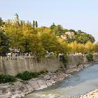
Georgia is an amazingly beautiful country. The natural diversity and mild climate of the country attracts thousands of tourists all year round. Majestic mountains, emerald forests, crystal lakes and mineral springs are her pride and heritage. Georgia occupies the plains that stretch along the Black Sea coast between the Great and Small Caucasian ranges. More than half the country’s area is mountainous. The vast Colchis lowland stretches on the western part while the fertile plains of Imereti, Kartalinia and Kakheti are spread on the eastern part. One third of the country’s territory is covered with mountain forests. Climatic features also vary: from west to east, the humid subtropical climate is replaced by a temperate and arid climate. … OpenPhotogallery of Kutaisi sights

Our guide to Kutaisi
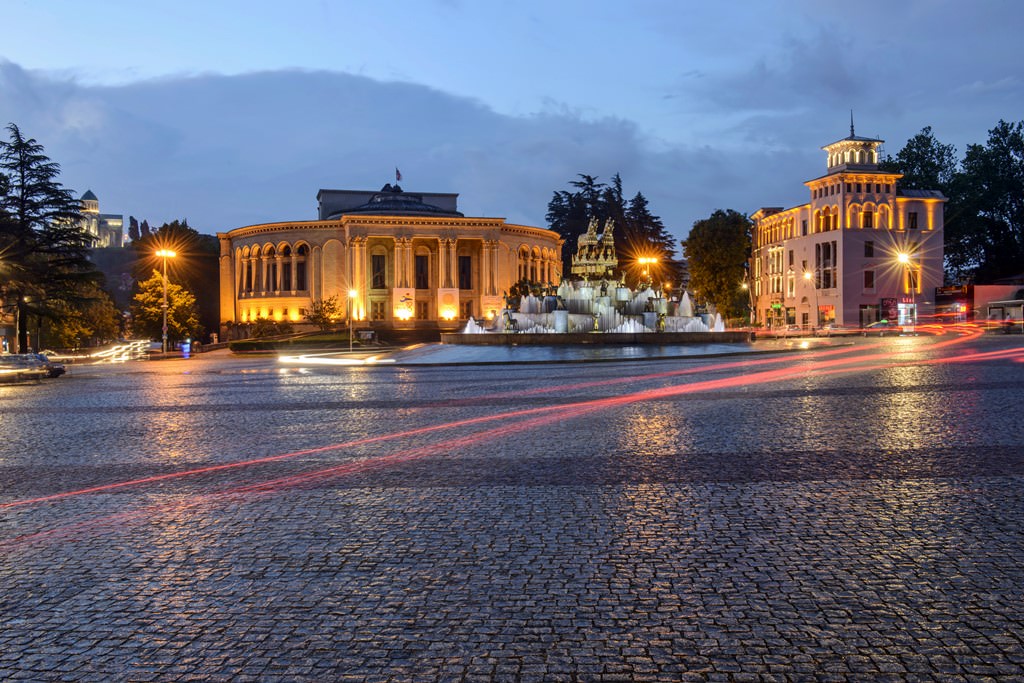
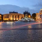
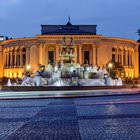
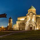
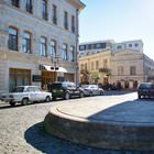
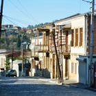
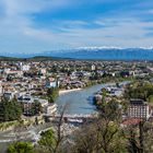
Kutaisi sightseeing
The Motsameta Monastery is undoubtedly a beautiful building. Circular towers with spiked cupolas charmingly adorn the main building. When visiting the monastery, don’t forget to drink a bit of water from the fountain that works inside the complex. According to local beliefs, this water can cure many diseases, both physical and spiritual. In modern times, the monastery is the center of an annual holiday called … Open 