

 English
 Russian
 Dutch
Dutch German
 Spanish
 French
 Türkçe
Detailed hi-res maps of Kuressaare for download or print


City tours, excursions and tickets in Kuressaare and surroundings
Car rental on OrangeSmile.com

Search for services, infrastructure and sights on map of Kuressaare
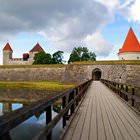
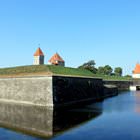
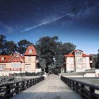
Photogallery of Kuressaare sightseeing
Our guide chapters over Kuressaare
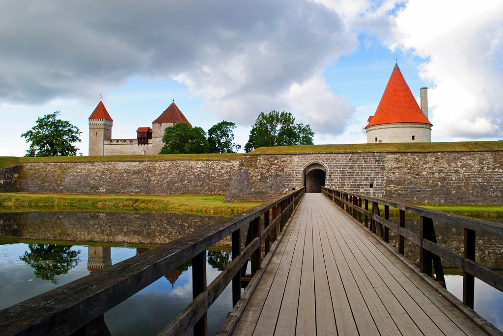
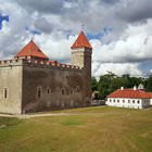
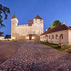
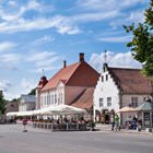
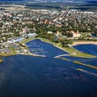
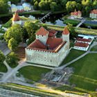
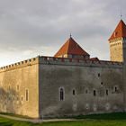
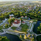
Kuressaare sightseeing
During the Russian reign, Kuressaare increased its importance. The island city started developing rapidly. This is when a large resort was established in Kuressaare. It quickly became popular with Russian nobles. In 1918, Kuressaare joined a new formation – the Republic of Estonia. After that, the settlement got its current name. Until that time, the city had another name, Arensburg. As a part of the Estonian … Open 