

Printable maps of Kranjska Gora


Interactive maps of hiking and biking routes around Kranjska Gora
1. You can zoom in/out using your mouse wheel, as well as move the map of Kranjska Gora with your mouse.2. This interactive map presents two modes: 'Biking Routes' and 'Hiking Routes'. Use the '+' button on the map to switch between them.
Railway and landscape maps of Kranjska Gora area
This Kranjska Gora map has two modes: 'Railway Network' and 'Landscape & Rural Map'. Use the '+' button on the map to navigate.City tours, excursions and tickets in Kranjska Gora and surroundings
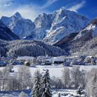
Nature and parks of Slovenia
The Postojna Cave that has a karstic origin is to the south-west of the capital of Slovenia, Ljubljana. It stretches the maze of corridors for over 20 kilometers. The cave is unique. In one of its halls, there is an artificial reservoir inhabited by the blind aquatic salamander proteus. Only karst caves on the territory of Slovenia became the habitat for this unique creature. In 1872, railway tracks were laid in the cave, so today you can explore this attraction by riding a small train. The Postojna Cave became the world's only cave with a railway laid through it. … OpenPhotogallery of Kranjska Gora sights
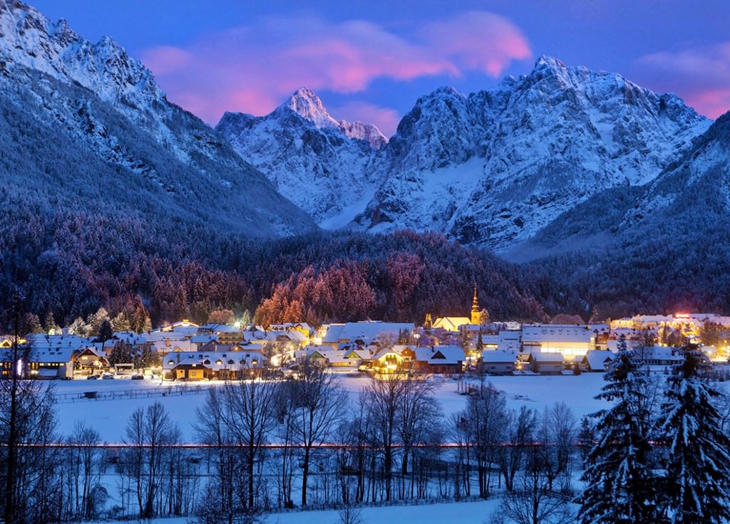
Our guide to Kranjska Gora
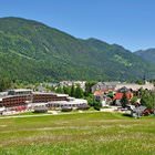
Kranjska Gora sightseeing
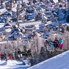
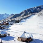
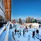
In modern time, Kranjska Gora is not only a resort but also a combination of three alpine skiing centers, namely, the town itself, Podkoren, and Planica. Having made yourself familiar with the map of ski runs, you will notice that many routes start near the town of Kranjska Gora, then cross other mountain skiing centers, and then return to the area where they started. All pistes have developed infrastructure. … Open 