

Printable maps of Kotor


Interactive maps of hiking and biking routes around Kotor
1. You can zoom in/out using your mouse wheel, as well as move the map of Kotor with your mouse.2. This interactive map presents two modes: 'Biking Routes' and 'Hiking Routes'. Use the '+' button on the map to switch between them.
Railway and landscape maps of Kotor area
This Kotor map has two modes: 'Railway Network' and 'Landscape & Rural Map'. Use the '+' button on the map to navigate.City tours, excursions and tickets in Kotor and surroundings
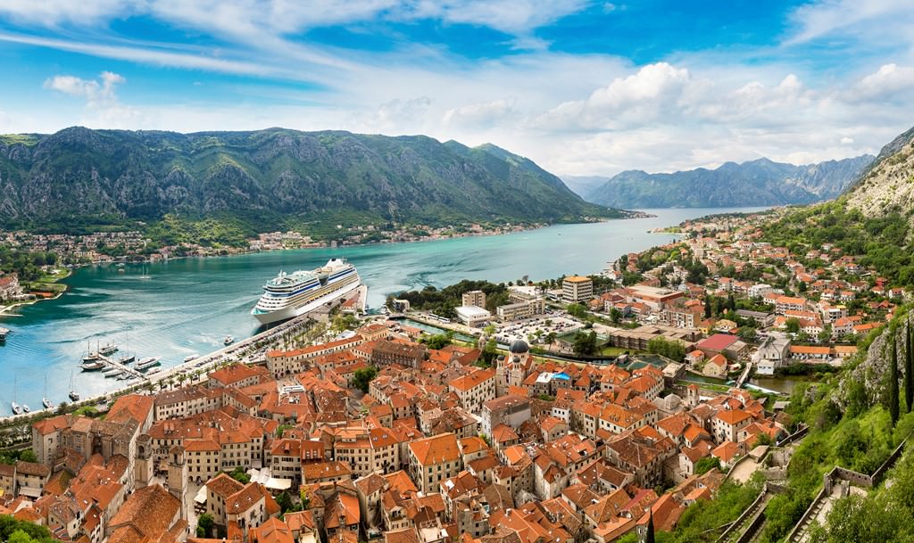
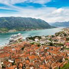
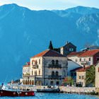
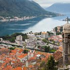
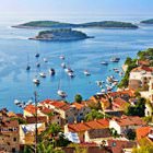
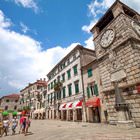
Photogallery of Kotor sights


Our guide to Kotor
Kotor sightseeing
Tivat airport is only seven kilometers from Kotor. It regularly serves flights from many different countries of the world. After that, take routes E65 or E80 to get to any hotel in the town. It is also possible to get to Kotor on a bus that departs from Budva. In this case, the journey time will be roughly half an hour. It takes only five minutes on foot to reach the old town center from the bus station. … Open 