

 English
 Russian
 Dutch
Dutch German
 Spanish
 French
 Türkçe
Detailed hi-res maps of Kingstown for download or print

City tours, excursions and tickets in Kingstown and surroundings
Car rental on OrangeSmile.com

Search for services, infrastructure and sights on map of Kingstown
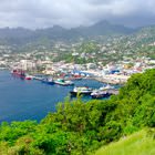
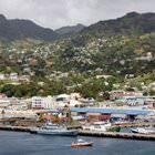
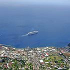
Photogallery of Kingstown sightseeing
Our guide chapters over Kingstown
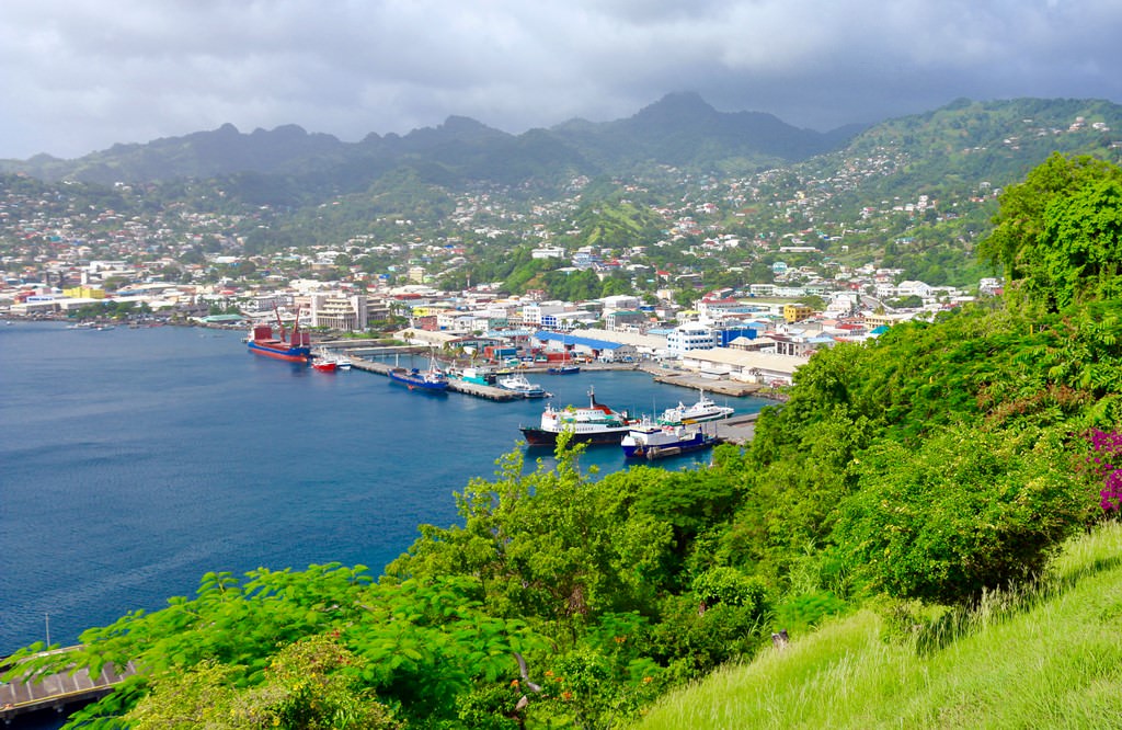
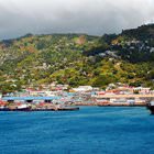
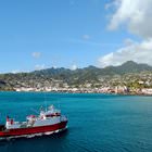
Kingstown sightseeing
The history of Kingstown started when famous explorer Christopher Columbus landed at the coast of the Caribbean Sea in 1498. This event happened on St. Vincent’s Day – January 22. This event gave the name to the island. After this event, the French captured the region and made it a French territory. Kingstown as a city was established in 1763 when the British claimed the island and made it a British colony. … Open 