

Interactive maps of hiking and biking routes around Kecskemet
1. You can zoom in/out using your mouse wheel, as well as move the map of Kecskemet with your mouse.2. This interactive map presents two modes: 'Biking Routes' and 'Hiking Routes'. Use the '+' button on the map to switch between them.
Railway and landscape maps of Kecskemet area
This Kecskemet map has two modes: 'Railway Network' and 'Landscape & Rural Map'. Use the '+' button on the map to navigate.City tours, excursions and tickets in Kecskemet and surroundings
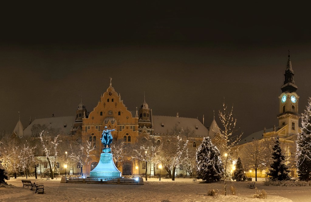
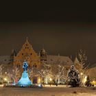
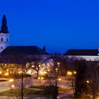
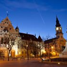
Photogallery of Kecskemet sights


Our guide to Kecskemet
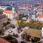
Kecskemet sightseeing
At the edge of the 16th-17th centuries, the Ottomans were rulers in the region. As Kecskemet paid taxes directly to the pasha in Buda, the town enjoyed a special status and no one had a right to plunder and damage it. Cattle breeding became very popular in the neighborhoods of Kecskemet in the 18th century. However, gardening and vine-growing became the major occupations of local people a century later. Kecskemet … Open 