

Printable maps of Busan


Interactive maps of hiking and biking routes around Busan
1. You can zoom in/out using your mouse wheel, as well as move the map of Busan with your mouse.2. This interactive map presents two modes: 'Biking Routes' and 'Hiking Routes'. Use the '+' button on the map to switch between them.
Railway and landscape maps of Busan area
This Busan map has two modes: 'Railway Network' and 'Landscape & Rural Map'. Use the '+' button on the map to navigate.City tours, excursions and tickets in Busan and surroundings
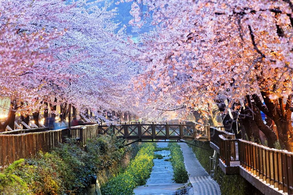
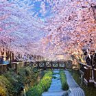
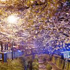
Nature and parks of South Korea
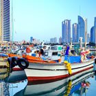
The entrance to Seoraksan Park is paid. There is a tourist infrastructure such as cafes and other public areas. A route to Biryong Falls is also very popular. Dinosaur Ridge is another well-known trail. By the way, tourists do not necessarily need to hike to Seoraksan Mountain. There is a cable car with a capacity of 50 people that goes to Gwongeumseong Station at an elevation of 699 meters. The cable car reaches the observation area in just 5 minutes. Visitors need to buy tickets to be able to use the cable car. … OpenPhotogallery of Busan sights


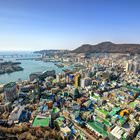

Our guide to Busan
Busan sightseeing
Gwangalli is the second most popular beach in Busan. This beach is a little closer to the center of the city. As it is less popular and famous, this beach is perfect for people who like less crowded places. This is an ideal place to enjoy tender sun and silence. It is also cleaner than Haeundae. This is a paradise-like place with striking views of the sea that never cease to charm people with their beauty and … Open 