

 English
 Russian
 Dutch
Dutch German
 Spanish
 French
 Türkçe
Detailed hi-res maps of Port Louis for download or print


City tours, excursions and tickets in Port Louis and surroundings
Car rental on OrangeSmile.com

Search for services, infrastructure and sights on map of Port Louis
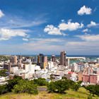
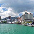
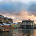
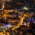
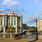
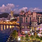
Photogallery of Port Louis sightseeing
Our guide chapters over Port Louis
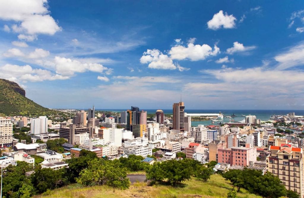
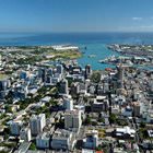
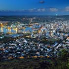
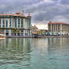
Port Louis sightseeing
When the Suez Canal was opened in 1869, the importance of Port Louis significantly declined. The city’s port was not an important terminal point on the sea route between Europe and Asia anymore. Despite the fact that the capital of Mauritius was forgotten on the international level, Port Louis has maintained its status of the island’s center until modern days. Moreover, when the independent Republic of … Open 