

Printable maps of Port Louis


Interactive maps of hiking and biking routes around Port Louis
1. You can zoom in/out using your mouse wheel, as well as move the map of Port Louis with your mouse.2. This interactive map presents two modes: 'Biking Routes' and 'Hiking Routes'. Use the '+' button on the map to switch between them.
Railway and landscape maps of Port Louis area
This Port Louis map has two modes: 'Railway Network' and 'Landscape & Rural Map'. Use the '+' button on the map to navigate.City tours, excursions and tickets in Port Louis and surroundings
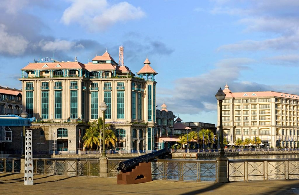
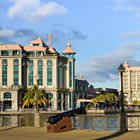
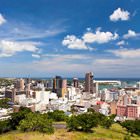
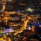
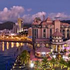
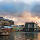
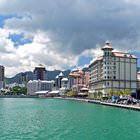
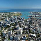
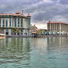
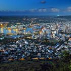
Photogallery of Port Louis sights
Our guide to Port Louis
Port Louis sightseeing
Chamarel Waterfall consists of the three water streams that fall into the jungle from the highest point of the plateau with quite a loud noise. The waterfall is situated in the Black River Gorges National Park in the southern part of the island. Nowadays, tourists enjoy visiting the waterfall that looks breathtaking. Lush tropical flora and falling water create an unforgettable view. The air is also incredibly … Open 