

Printable maps of Mandalay


Interactive maps of hiking and biking routes around Mandalay
1. You can zoom in/out using your mouse wheel, as well as move the map of Mandalay with your mouse.2. This interactive map presents two modes: 'Biking Routes' and 'Hiking Routes'. Use the '+' button on the map to switch between them.
Railway and landscape maps of Mandalay area
This Mandalay map has two modes: 'Railway Network' and 'Landscape & Rural Map'. Use the '+' button on the map to navigate.City tours, excursions and tickets in Mandalay and surroundings
Nature and parks of Myanmar-Burma
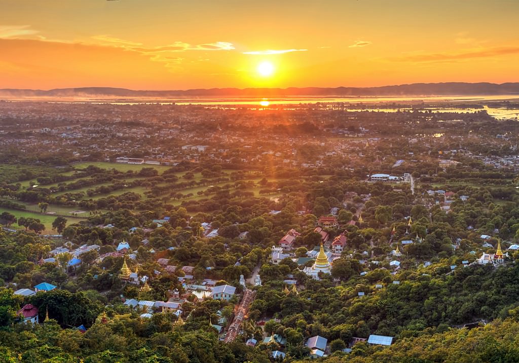
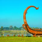
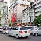
Myanmar is a relatively big country – its territory is the 39th largest in the world. It is not possible to explore all parts of Myanmar on foot. Moreover, some areas are closed to visitors. Tourists can enter them only if they have a special permit and only together with a guide. Riding from one town to another can take much time. Intercity bus rides of 5-10 and more hours are typical in Myanmar, but many tourists cannot waste so much time, especially if their vacation in Myanmar is short. Also, the country is so rich in interesting landmarks that it is hard to see them all. The airplane is the optimal way of moving between cities. For moving within city borders, taxi is the best choice. In natural reserves, tourists can often only walk. Upon arriving in a certain town, it is a good idea to buy a map of that town as it will be easier to navigate with it. … OpenPhotogallery of Mandalay sights

Our guide to Mandalay
Mandalay sightseeing
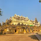
Myanmar is incredibly rich in attractive and original attractions, but some of them are truly spectacular and worth visiting. Atumashi Monastery is one of them. This is an old architectural landmark, the name of which literally means “incomparable”. Visit this attraction of Mandalay and you will understand why the monastery was called this way. In modern times, the Atumashi Monastery has become a cultural … Open 