

 English
 Russian
 Nederlands
 Deutsch
 Español
 Français
 Türkçe
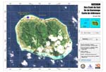
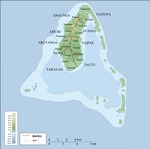
Maps of Cook Islands


Car rental on OrangeSmile.com

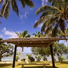
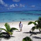
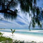
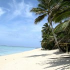
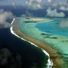
Aura of Cook Islands in photographs


Traditions in Cook Islands

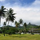
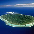
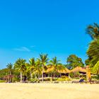
Rarotonga
Rarotonga is the amazingly beautiful and charming island with interesting cultural traditions. Music and dance have become indispensable attributes of everyday life. The islanders consider themselves the best dancers of Oceania and not without a reason. Travelers who wish to get acquainted with local culture and traditions have to visit the island during the second half of April, when a festival of dance Te Mire Ura takes place. It is attended by the best dance groups of the Cook Islands; the … Read more 

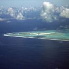
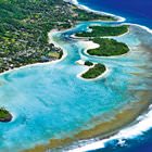
Aitutaki Island
Even though the local population is called the Māori, they actually have not much in common with New Zealand people. About 90% of the islanders are descendants of diverse Polynesian nationalities who came to the island due to the migration process through the Pacific Ocean. Even local Māori Kuki Airani language has loan words from Fijian, Samoan and Tahitian dialects of Polynesia. It’s interesting that Aitutaki people call their own language Te Reo Lpukarea meaning «from homeland … Read more