

Interactive maps of hiking and biking routes around Dushanbe
1. You can zoom in/out using your mouse wheel, as well as move the map of Dushanbe with your mouse.2. This interactive map presents two modes: 'Biking Routes' and 'Hiking Routes'. Use the '+' button on the map to switch between them.
Railway and landscape maps of Dushanbe area
This Dushanbe map has two modes: 'Railway Network' and 'Landscape & Rural Map'. Use the '+' button on the map to navigate.City tours, excursions and tickets in Dushanbe and surroundings
Nature and parks of Tajikistan
Garm Chashma hot springs are located 35km from Khorog at an elevation of 2,842m. There is a sanatorium near the springs. The resort is quite popular and greets tourists all year round. It is not rare to see guests from Europe and Japan. Some springs are free to visit – these are naturally formed swimming basins. Some springs have the healing narzan water. It is better to reach the start of the trekking route by taxi. The Pamir Highway is more suitable for rented or own cars. … OpenPhotogallery of Dushanbe sights
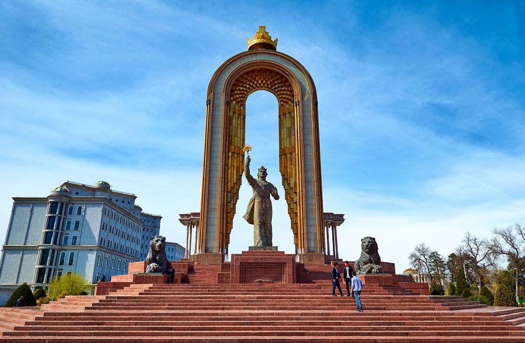


Our guide to Dushanbe
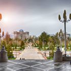
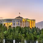
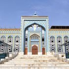
Dushanbe sightseeing
According to the official historical records, Dushanbe was founded in the 17th century. At that time, there was a kishlak on the site of the city. This kishlak had the same name as the modern capital of Tajikistan. This was a small settlement that emerged on the crossing of trading routes. Every Monday, a big and quite noisy bazaar opened in the kishlak. Perhaps, this is the reason why the settlement got its name. … Open 