

Interactive maps of hiking and biking routes around Byblos-Jbeil
1. You can zoom in/out using your mouse wheel, as well as move the map of Byblos-Jbeil with your mouse.2. This interactive map presents two modes: 'Biking Routes' and 'Hiking Routes'. Use the '+' button on the map to switch between them.
Railway and landscape maps of Byblos-Jbeil area
This Byblos-Jbeil map has two modes: 'Railway Network' and 'Landscape & Rural Map'. Use the '+' button on the map to navigate.City tours, excursions and tickets in Byblos-Jbeil and surroundings
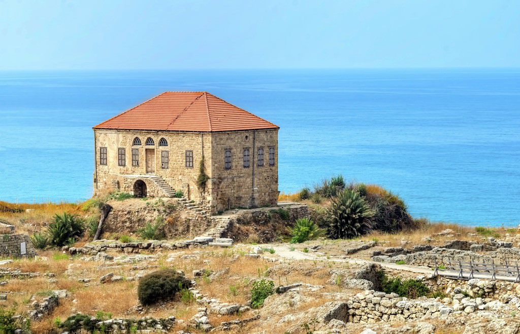
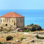
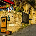
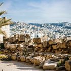
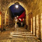
Photogallery of Byblos-Jbeil sights


Our guide to Byblos-Jbeil
Byblos-Jbeil sightseeing
To get to Byblos-Jbeil, tourists first need to fly to Beirut – most capitals have direct flights to this city. In Beirut Airport, comfortable buses take tourists to the central part of Byblos-Jbeil. Travelers can always get a taxi to this city, but it will be significantly more expensive. The journey time from the airport to Byblos-Jbeil is approximately half an hour. When … Open 