

Printable maps of Negril


Interactive maps of hiking and biking routes around Negril
1. You can zoom in/out using your mouse wheel, as well as move the map of Negril with your mouse.2. This interactive map presents two modes: 'Biking Routes' and 'Hiking Routes'. Use the '+' button on the map to switch between them.
Railway and landscape maps of Negril area
This Negril map has two modes: 'Railway Network' and 'Landscape & Rural Map'. Use the '+' button on the map to navigate.City tours, excursions and tickets in Negril and surroundings
Overview of festivals and celebrations in Jamaica
Christopher Columbus arrived in Jamaica in 1494. In his log, he called it “the most beautiful island that eyes have ever seen: mountains and ground look like they are touching heaven. The land has gorgeous valleys and velvety fields”. In 1509, the Spanish founded a capital, New Seville, not far from Ocho Rios. Actually, the Spanish called this area Las Chorreras, which means “waterfalls”. Brits mistakenly translated Las Chorreras as “eight rivers” and hence named the nearby town Ocho Rios. Nowadays, the ruins of New Seville are an archaeological site. Scientists also try to find two ships that were lost not far from Columbus. … OpenPhotogallery of Negril sights

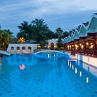
Our guide to Negril
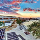
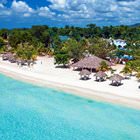
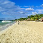
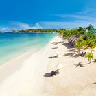
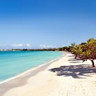
Negril sightseeing
Local lighthouse is the tallest building in the town. Its height is roughly thirty-one meters when compared to the sea level. Built in 1895, this lighthouse was a very important sign for ships coming to Negril or passing by. The lighthouse is powered by solar energy. Initially, its lamps required kerosene, which was then replaced by the acetylene, and later the lighthouse got electrical lamps. Nowadays, … Open 