

 English
 Russian
 Dutch
Dutch German
 Spanish
 French
 Türkçe
Detailed hi-res maps of Ohrid for download or print


City tours, excursions and tickets in Ohrid and surroundings
Car rental on OrangeSmile.com

Search for services, infrastructure and sights on map of Ohrid
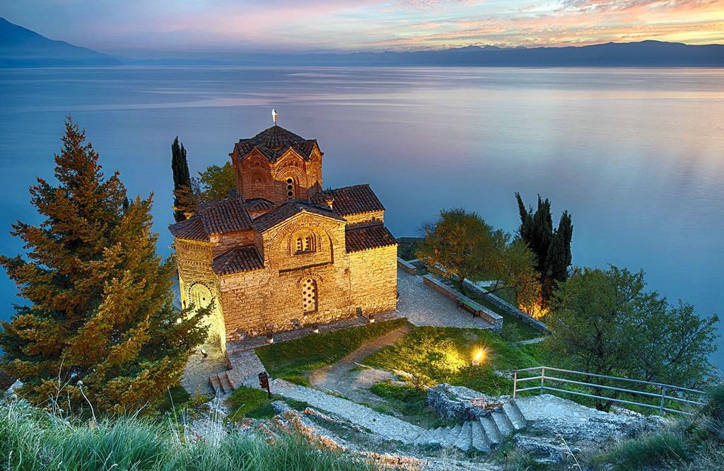
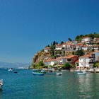
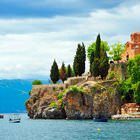
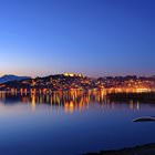
Photogallery of Ohrid sightseeing


Our guide chapters over Ohrid
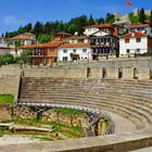
Ohrid sightseeing
Over the next twenty-five years starting from the 90s of the 10th century, Ohrid became famous as the capital of the Bulgarian Empire. Samuel was the emperor at that time. In 1018, the Byzantines captured the city. Their period of reign in Ohrid was marked by the construction of new churches. Ohrid returned to the territory of Bulgaria only a hundred years later. Serbians conquered the city in the XIV century, but … Open 