

Maps of cities and regions of Martinique
Additional maps of Martinique
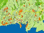
Country maps

Interactive maps of hiking and biking routes in Martinique
1. You can zoom in/out using your mouse wheel, as well as move the map of Martinique with your mouse.2. This interactive map presents two modes: 'Biking Routes' and 'Hiking Routes'. Use the '+' button on the map to switch between them.
Railway and landscape maps of Martinique
This Martinique map has two modes: 'Railway Network' and 'Landscape & Rural Map'. Use the '+' button on the map to navigate.Maps of cities and regions of Martinique
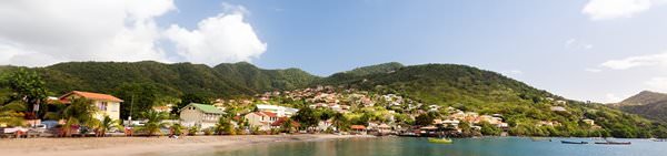
Diamant
The miniature town is very interesting to explore on foot. Curious attractions can be seen literally at every step. The ancient church Immacolata Concezione, which was built in the 17th century, was preserved in the town. Over the 300 years of its existence, it has been reconstructed many times. However, the church has not lost its historical charm. Many ancient elements of decoration and ornaments, as well as valuable religious artifacts, have been preserved in it. While walking along the … Read more 
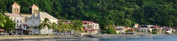
Fort De France
Old Fort Saint-Louis is an important historic landmark, situated on the coast. It is still used as a military base. The history of the fort dates back to 1638. Back then, a small wooden fort was built on the coast to protect the harbor. Already in 1666, they decided to strengthen it. The most extensive transformations took place during the period of the Dutch war. The ancient fort has been bearing its present name since 1814. Today, its greater part is publicly accessible. Saint-Louis … Read more