

Printable maps of Havana


Interactive maps of hiking and biking routes around Havana
1. You can zoom in/out using your mouse wheel, as well as move the map of Havana with your mouse.2. This interactive map presents two modes: 'Biking Routes' and 'Hiking Routes'. Use the '+' button on the map to switch between them.
Railway and landscape maps of Havana area
This Havana map has two modes: 'Railway Network' and 'Landscape & Rural Map'. Use the '+' button on the map to navigate.City tours, excursions and tickets in Havana and surroundings
Nature and parks of Cuba
The Topes de Collantes Park (to the south of Cienfuegos) is an excellent destination for all nature enthusiasts. The tropical forest enchants its guests with bright colors and exotic flora. There are gorgeous waterfalls in the park, and visitors are allowed to swim in them (put on the swimming suit in advance). It is also possible to see how coffee trees grow and how Cuban bananas are cultivated. During an excursion in the park, visitors walk on the ground, on the stones, and on huge tree trunks that form bridges above streams. An excursion in the jungle is a mesmerizing experience and an opportunity to breathe crystal clear air in the virgin forest. Don’t forget to specify the price of an excursion to the jungle in advance because it might be higher than you expect. The entrance fee doesn’t cover all services in the park. There are many paid options to choose from. … OpenPhotogallery of Havana sights
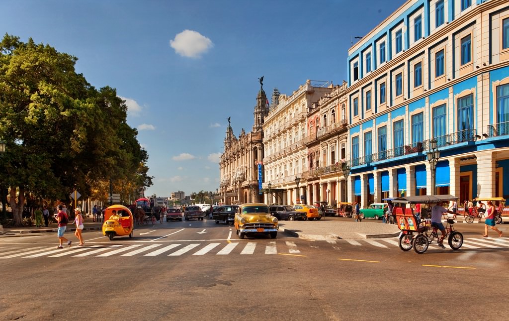


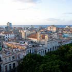
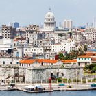
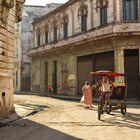


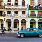
Our guide to Havana
Havana sightseeing
Are you planning to swim and sunbathe? Despite the close proximity to the Atlantic Ocean, there are no really good beaches in central Havana. The first quality beach, which is pleasant to stay on, is situated fifteen minutes away from the city center. Beaches in this part of Havana are referred to as “East” ones. There are almost ten beaches in this direction, and each of them has its own name. The entrance is … Open 