

Interactive maps of hiking and biking routes around Quetzaltenango
1. You can zoom in/out using your mouse wheel, as well as move the map of Quetzaltenango with your mouse.2. This interactive map presents two modes: 'Biking Routes' and 'Hiking Routes'. Use the '+' button on the map to switch between them.
Railway and landscape maps of Quetzaltenango area
This Quetzaltenango map has two modes: 'Railway Network' and 'Landscape & Rural Map'. Use the '+' button on the map to navigate.City tours, excursions and tickets in Quetzaltenango and surroundings
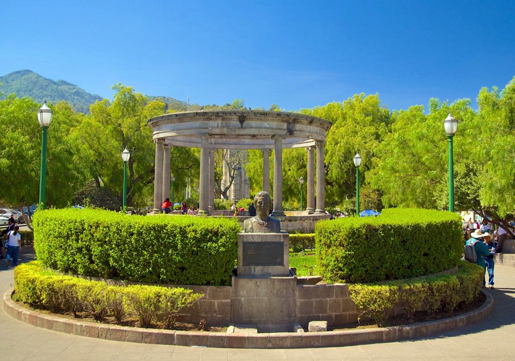
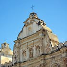
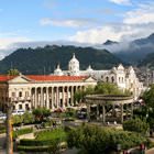
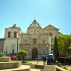
Photogallery of Quetzaltenango sights


Our guide to Quetzaltenango
Quetzaltenango sightseeing
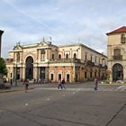
In southwestern Guatemala, tourists can visit a very interesting city named Quetzaltenango. As the official name is quite long, local people often call their home by its Mayan name – Xelaju or Xela. This region is very popular with tourists because of the hot springs and various handmade items made by local craftsmen. The city is not particularly rich in attractions. Despite this, foreign guests enjoy visiting … Open 