

Interactive maps of hiking and biking routes around Ocho Rios
1. You can zoom in/out using your mouse wheel, as well as move the map of Ocho Rios with your mouse.2. This interactive map presents two modes: 'Biking Routes' and 'Hiking Routes'. Use the '+' button on the map to switch between them.
Railway and landscape maps of Ocho Rios area
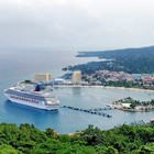
This Ocho Rios map has two modes: 'Railway Network' and 'Landscape & Rural Map'. Use the '+' button on the map to navigate.City tours, excursions and tickets in Ocho Rios and surroundings
Overview of festivals and celebrations in Jamaica
There are attempts to identify the location of the first Spanish settlement in this area because it would help to understand when the young country was founded. During a century and a half, the Spanish delivered sugar cane to Europe. Later, slaves from Africa were growing sugar cane. When the British appeared on the island, the Spanish escaped to the nearby islands. As a result of the emancipation and the following economic chaos, an uprising took place in Morant Bay. Politics was born in Jamaica in the 30s of the 20th century. Two very different men, Michael Manley and Alexander Bustamante (who turned out to be cousins), founded main political parties of the island. Soon, the new Jamaican flag was raised proudly, and a new independent country was born. … OpenPhotogallery of Ocho Rios sights
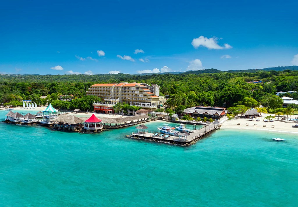

Our guide to Ocho Rios
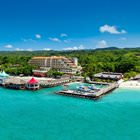
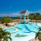
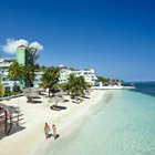
Ocho Rios sightseeing
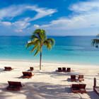
It is simply inexcusable to visit Ocho Rios and fail to see the main natural attraction of the region. This part of the island is the location of a truly breathtaking place –Dunn’s River Falls. This is a cascade of falls, the height of which is roughly one hundred and eighty-two meters. The falling water then flows into the Caribbean Sea. Perhaps, this is the most beautiful and spectacular natural … Open 