

Interactive maps of hiking and biking routes around Nablus
1. You can zoom in/out using your mouse wheel, as well as move the map of Nablus with your mouse.2. This interactive map presents two modes: 'Biking Routes' and 'Hiking Routes'. Use the '+' button on the map to switch between them.
Railway and landscape maps of Nablus area
This Nablus map has two modes: 'Railway Network' and 'Landscape & Rural Map'. Use the '+' button on the map to navigate.City tours, excursions and tickets in Nablus and surroundings
Nature and parks of Palestine
In the coastal area of the Dead Sea (relatively close), tourists can stay at hotels in Israeli settlements, for example, in Kalya that has a population of a little more than four hundred people. There are a hotel and a guesthouse here. If you are not a fan of the desert, then the exploration of the area will not be very exciting. The Qumran National Park lies not far from Kalya. This area has wooden observation platforms built above the archaeological excavation sites and passages that connect them. … OpenPhotogallery of Nablus sights
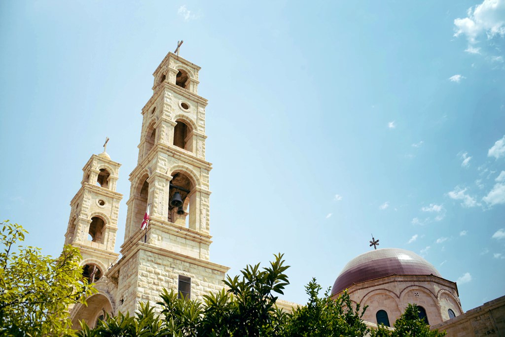

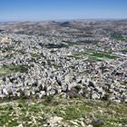


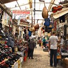
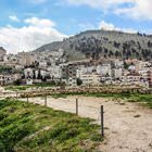

Our guide to Nablus
Nablus sightseeing
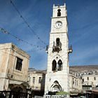
An-Nasr Mosque is another sacred building in Nablus with a centuries-old history. Tourists can find it in the old part of the city. It is impossible to pass An-Nasr by without noticing because the mosque has an eye-catching turquoise-colored cupola. On the second floor, there is a hall for prayers. All these peculiarities of the mosque make it stand out from other Muslim shrines because it is uncommon for a mosque … Open 