

Printable maps of Koper

Interactive maps of hiking and biking routes around Koper
1. You can zoom in/out using your mouse wheel, as well as move the map of Koper with your mouse.2. This interactive map presents two modes: 'Biking Routes' and 'Hiking Routes'. Use the '+' button on the map to switch between them.
Railway and landscape maps of Koper area
This Koper map has two modes: 'Railway Network' and 'Landscape & Rural Map'. Use the '+' button on the map to navigate.City tours, excursions and tickets in Koper and surroundings
Nature and parks of Slovenia
In the southern part of Slovenia, there is the Škocjan Reserve established in 1986. It was aimed to protect nature around one of the most picturesque and famous Slovene caves of the same name. The reserve area is 400 hectares. The waters of an underground river in the cave form 25 waterfalls of different height along the entire length of its flow. The highest one falls from 160 meters. Only 5 kilometers of all passages of the Škocjan Caves were studied. Some fragments of the cave's limestone vaults collapsed and formed natural funnel-shaped wells where juniper and alpine cyclamen grow along with alpine auriculas. … OpenPhotogallery of Koper sights
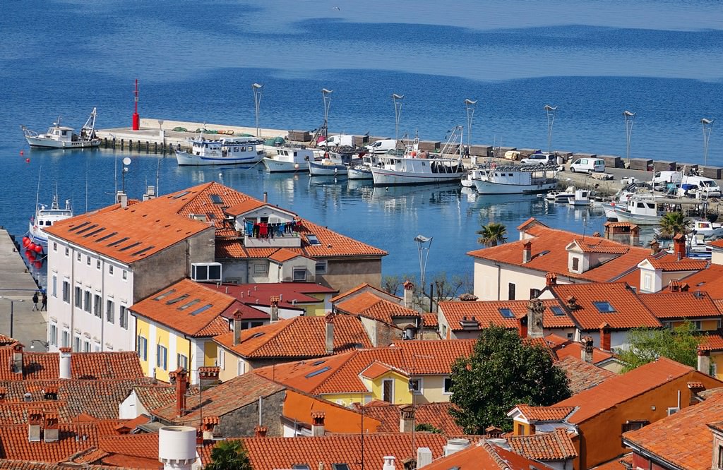
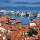
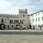
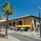
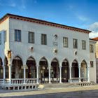
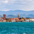
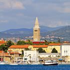
Our guide to Koper
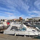
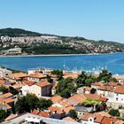
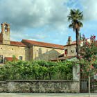
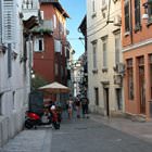
Koper sightseeing
The ancient Greek settlement of Aegida was the “forefather” of Koper. During the Roman reign, this settlement had another name, Capro. The modern name of the city derived from it. At the end of the 60s of the 6th century, the population of Tergestum hid in this city from Lombards who were chasing them. The period from the 7th to the 8th century was the toughest for Koper because of the invasions of Francs, … Open 